Most ebook files are in PDF format, so you can easily read them using various software such as Foxit Reader or directly on the Google Chrome browser.
Some ebook files are released by publishers in other formats such as .awz, .mobi, .epub, .fb2, etc. You may need to install specific software to read these formats on mobile/PC, such as Calibre.
Please read the tutorial at this link: https://ebookbell.com/faq
We offer FREE conversion to the popular formats you request; however, this may take some time. Therefore, right after payment, please email us, and we will try to provide the service as quickly as possible.
For some exceptional file formats or broken links (if any), please refrain from opening any disputes. Instead, email us first, and we will try to assist within a maximum of 6 hours.
EbookBell Team
4.1
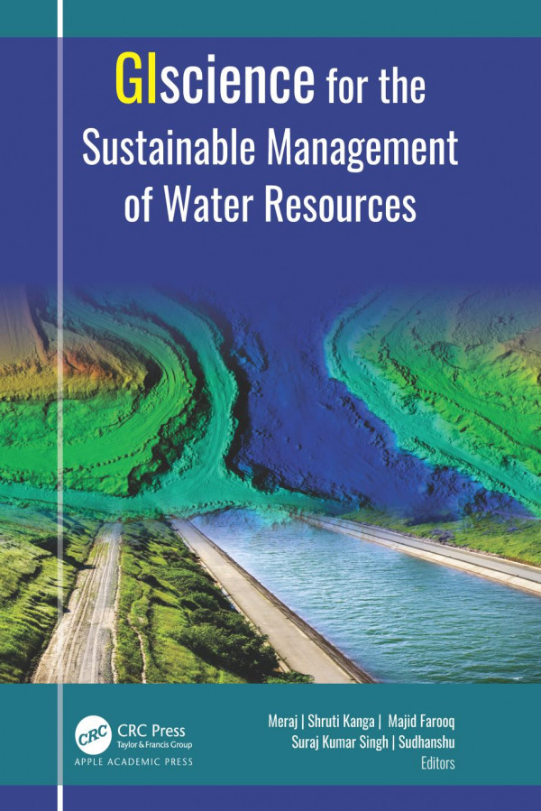
20 reviewsWater is one of the most critical resources of nature that is necessary for sustaining life for all living things. This volume discusses in detail a selection of geospatial approaches, tools, and techniques for understanding the root causes behind the degradation of our water resources.
Satellite remote sensing provides essential data for mapping water resources, hydrology flux measurement, monitoring drought, and flood inundation. With an abundance of informative case studies, this volume discusses the use of the satellite remote sensing and GIS-based systems for managing urban storm water; for flood and soil erosion management; for mapping groundwater zones; for crop production, including measuring soil moisture and aridity; for gauging the impact of climate change; for evaluating glacier change dynamics; for assessing the impact of urban growth on water resources; for measuring the degradation of rivers; and more.