
Most ebook files are in PDF format, so you can easily read them using various software such as Foxit Reader or directly on the Google Chrome browser.
Some ebook files are released by publishers in other formats such as .awz, .mobi, .epub, .fb2, etc. You may need to install specific software to read these formats on mobile/PC, such as Calibre.
Please read the tutorial at this link: https://ebookbell.com/faq
We offer FREE conversion to the popular formats you request; however, this may take some time. Therefore, right after payment, please email us, and we will try to provide the service as quickly as possible.
For some exceptional file formats or broken links (if any), please refrain from opening any disputes. Instead, email us first, and we will try to assist within a maximum of 6 hours.
EbookBell Team

4.4
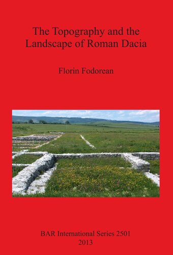
92 reviewsIn this volume the author presents a full study of the topography and landscape of Roman Dacia (roughly present-day north-central and western Romania). The work begins with investigations of the Roman road network and a discussion of the Roman geographical perception of Dacia before and after the conquest, which entailed the construction of the first roads. The author then examines the ancient sources concerning the roads of Roman Dacia, using the 'Tabula Peutingeriana', itineraries and other literary sources, the archaeological remains, and the 'Tabula Traiana', to reconstruct the main roads of Roman Dacia. Further chapters widen the topic by discussing roads and rural settlements, focussing on Potaissa and its surroundings, and on Napoca and beyond, with an excursus on Roman bridges. These detailed studies enable the author to suggest a recreation of the landscape of Roman Dacia, using a combination of historical 19th-century cartography, digital data and GIS.