
Most ebook files are in PDF format, so you can easily read them using various software such as Foxit Reader or directly on the Google Chrome browser.
Some ebook files are released by publishers in other formats such as .awz, .mobi, .epub, .fb2, etc. You may need to install specific software to read these formats on mobile/PC, such as Calibre.
Please read the tutorial at this link: https://ebookbell.com/faq
We offer FREE conversion to the popular formats you request; however, this may take some time. Therefore, right after payment, please email us, and we will try to provide the service as quickly as possible.
For some exceptional file formats or broken links (if any), please refrain from opening any disputes. Instead, email us first, and we will try to assist within a maximum of 6 hours.
EbookBell Team

0.0
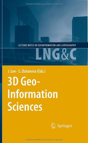
0 reviewsIn recent years 3D geo-information has become an important research area due to the increased complexity of tasks in many geo-scientific applications, such as sustainable urban planning and development, civil engineering, risk and disaster management and environmental monitoring. Moreover, a paradigm of cross-application merging and integrating of 3D data is observed. The problems and challenges facing today’s 3D software, generally application-oriented, focus almost exclusively on 3D data transportability issues – the ability to use data originally developed in one modelling/visualisation system in other and vice versa. Tools for elaborated 3D analysis, simulation and prediction are either missing or, when available, dedicated to specific tasks. In order to respond to this increased demand, a new type of system has to be developed. A fully developed 3D geo-information system should be able to manage 3D geometry and topology, to integrate 3D geometry and thematic information, to analyze both spatial and topological relationships, and to present the data in a suitable form. In addition to the simple geometry types like point line and polygon, a large variety of parametric representations, freeform curves and surfaces or sweep shapes have to be supported. Approaches for seamless conversion between 3D raster and 3D vector representations should be available, they should allow analysis of a representation most suitable for a specific application.