
Most ebook files are in PDF format, so you can easily read them using various software such as Foxit Reader or directly on the Google Chrome browser.
Some ebook files are released by publishers in other formats such as .awz, .mobi, .epub, .fb2, etc. You may need to install specific software to read these formats on mobile/PC, such as Calibre.
Please read the tutorial at this link: https://ebookbell.com/faq
We offer FREE conversion to the popular formats you request; however, this may take some time. Therefore, right after payment, please email us, and we will try to provide the service as quickly as possible.
For some exceptional file formats or broken links (if any), please refrain from opening any disputes. Instead, email us first, and we will try to assist within a maximum of 6 hours.
EbookBell Team

4.3
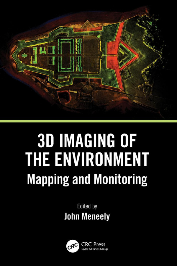
88 reviewsThis is a comprehensive, overarching, interdisciplinary book and a valuable contribution to a unified view of visualisation, imaging, and mapping. It covers a variety of modern techniques, across an array of spatial scales, with examples of how to map, monitor, and visualise the world in which we live. The authors give detailed explanations of the techniques used to map and monitor the built and natural environment and how that data, collected from a wide range of scales and cost options, is translated into an image or visual experience. It is written in a way that successfully reaches technical, professional, and academic readers alike, particularly geographers, architects, geologists, and planners.
FEATURES
Intended for those with a background in the technology involved with imaging and mapping, the contributions shared in this book introduce readers to new and emerging 3D imaging tools and programs.