logo

EbookBell.com

Most ebook files are in PDF format, so you can easily read them using various software such as Foxit Reader or directly on the Google Chrome browser.
Some ebook files are released by publishers in other formats such as .awz, .mobi, .epub, .fb2, etc. You may need to install specific software to read these formats on mobile/PC, such as Calibre.

Please read the tutorial at this link:  https://ebookbell.com/faq 


We offer FREE conversion to the popular formats you request; however, this may take some time. Therefore, right after payment, please email us, and we will try to provide the service as quickly as possible.


For some exceptional file formats or broken links (if any), please refrain from opening any disputes. Instead, email us first, and we will try to assist within a maximum of 6 hours.

EbookBell Team
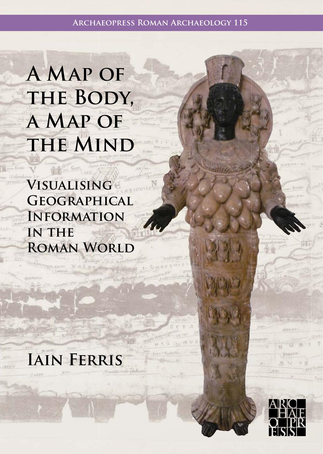
A Map Of The Body A Map Of The Mind Visualising Geographical Knowledge In The Roman World Iain Ferris

  • SKU: BELL-87459712
A Map Of The Body A Map Of The Mind Visualising Geographical Knowledge In The Roman World Iain Ferris
$ 31.00 $ 45.00 (-31%)

4.8

64 reviews

A Map Of The Body A Map Of The Mind Visualising Geographical Knowledge In The Roman World Iain Ferris instant download after payment.

Publisher: Archaeopress
File Extension: PDF
File size: 11.59 MB
Pages: 350
Author: Iain Ferris
ISBN: 9781803277813, 1803277815
Language: English
Year: 2024
Volume: 115

Product desciption

A Map Of The Body A Map Of The Mind Visualising Geographical Knowledge In The Roman World Iain Ferris by Iain Ferris 9781803277813, 1803277815 instant download after payment.

A Map of the Body, a Map of the Mind is a study about the relationship between geography and power in the ancient Roman world, and most particularly about the visualisation of geographical knowledge in myriad forms of geography products, including geographical treatises, histories, poems, personifications, landscape representations, images of barbarian peoples, maps, itineraries, and imported foodstuffs. As Rome broke its political bounds and headed towards empire the whole city became the centre and the Roman world-view changed with it. The Roman state then needed to present to the Roman people an easily-digestible narrative about its imperial ambition and imperial possessions, in a way that went beyond the fact that servitude, enslavement, and misery for many underpinned this expansion. There needed to be a publicly-guided discourse centred around the smoothing out of difference, rather than its obliteration or elimination, and the presentation of many different lifeworlds in a familiar way using geographical information. This marked a way of directing how change could be managed and of reimagining how the world might be and might work at the intersection between selection, knowledge, and insight. Reflection and communication sought to create a communal sense of belonging. If not actually doors, these geographical images were at least windows onto self-identity and otherness, letting light in on a sombre struggle against accidie.
Iain Ferris is an independent academic researcher and a former field archaeologist who has published three archaeological excavation monographs and ten books, the most recent of which Visions of the Roman North: Art and Identity in Northern Roman Britain was published by Archaeopress in 2021.

Related Products