Most ebook files are in PDF format, so you can easily read them using various software such as Foxit Reader or directly on the Google Chrome browser.
Some ebook files are released by publishers in other formats such as .awz, .mobi, .epub, .fb2, etc. You may need to install specific software to read these formats on mobile/PC, such as Calibre.
Please read the tutorial at this link: https://ebookbell.com/faq
We offer FREE conversion to the popular formats you request; however, this may take some time. Therefore, right after payment, please email us, and we will try to provide the service as quickly as possible.
For some exceptional file formats or broken links (if any), please refrain from opening any disputes. Instead, email us first, and we will try to assist within a maximum of 6 hours.
EbookBell Team
4.3
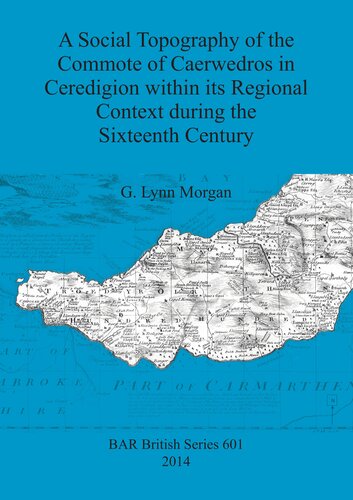
88 reviewsThe author was inspired to embark on this work by her own sense of Welsh identity and by her surrounding landscape in south-west Ceredigion. In this interdisciplinary research the author defines the historical geography of the commote of Caerwedros by retroactive analysis, relating the area's social topography and structure to the political and economic dynamics of Welsh culture from the later Middle Ages to the 16th century, including its ancient territorial units (tref and rhandir). Part of this is the religious landscape represented by medieval stone churches gracing Ceredigion's coastal rim and the role of important religious houses of founded in the 12th century, especially the Cistercian Abbey of Whitland, whose farms are recorded in charters of the Lord Rhys of Deheubarth. These are mapped within the framework of three granges in the commote. The 15th and 16th centuries saw the emergence of a largely indigenous gentry class as primary controllers of the land and the study tracks the genealogies and family inter-relationships of prominent local families within local community landscapes. Alongside this is an analysis of Welsh place names aimed at increasing our understanding of the social evolution of land ownership and management, within the context of farming communities in the cultural landscape of 16th century south-west Ceredigion.