Most ebook files are in PDF format, so you can easily read them using various software such as Foxit Reader or directly on the Google Chrome browser.
Some ebook files are released by publishers in other formats such as .awz, .mobi, .epub, .fb2, etc. You may need to install specific software to read these formats on mobile/PC, such as Calibre.
Please read the tutorial at this link: https://ebookbell.com/faq
We offer FREE conversion to the popular formats you request; however, this may take some time. Therefore, right after payment, please email us, and we will try to provide the service as quickly as possible.
For some exceptional file formats or broken links (if any), please refrain from opening any disputes. Instead, email us first, and we will try to assist within a maximum of 6 hours.
EbookBell Team
4.8
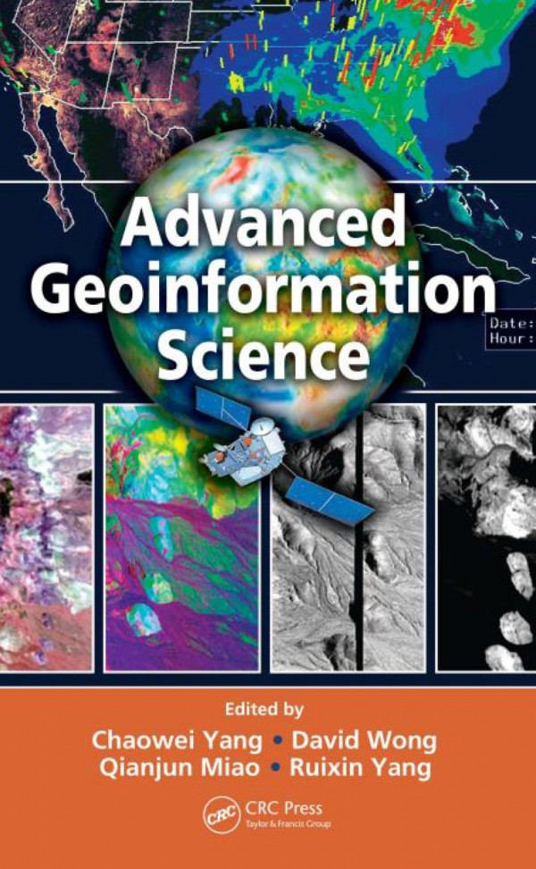
34 reviewsMany of the challenges of the next century will have physical dimensions, such as tsunamis, hurricanes, and climate change as well as human dimensions such as economic crises, epidemics, and emergency responses. With pioneering editors and expert contributors, Advanced Geoinformation Science explores how certain technical aspects of geoinformation have been used and could be used to address such global issues. The editors and chapter authors have been involved in global initiatives such as Global Earth Observation System of Systems (GEOSS) and Digital Earth, and research problems such as air quality, public health, and cloud computing.
The book delineates the problems communities are likely to face and how advanced geoinformation science can be a part of their solution. It introduces different methods in collecting spatial data as the initial feeds to geoinformation science and computing platforms. It discusses systems for data management, data integration and analysis, the geoinformation infrastructure, as well as knowledge capture, formatting, and utilization. The book then explores a variety of geoinformation applications, highlighting environmental, agriculture, and urban planning uses.
Geoinformation science encompasses more than just traditional technologies such as Remote Sensing, GIS, GPS, and supporting disciplines. And although the science continues to become more multidisciplinary, the literature remains compartmentalized according to the traditional disciplinary boundaries. Capturing recent developments in geoinformation science and linking IT with a wide range of Earth sciences, the authors explain how advanced technology and concepts play a significant role in recent advancements. Enhanced with forty-four color illustrations, live examples such as GOS and AirNow, and insights from NASA, EPA, and USGS, the book provides a vision for the future and explores how to bring that vision into reality.