logo

EbookBell.com

Most ebook files are in PDF format, so you can easily read them using various software such as Foxit Reader or directly on the Google Chrome browser.
Some ebook files are released by publishers in other formats such as .awz, .mobi, .epub, .fb2, etc. You may need to install specific software to read these formats on mobile/PC, such as Calibre.

Please read the tutorial at this link:  https://ebookbell.com/faq 


We offer FREE conversion to the popular formats you request; however, this may take some time. Therefore, right after payment, please email us, and we will try to provide the service as quickly as possible.


For some exceptional file formats or broken links (if any), please refrain from opening any disputes. Instead, email us first, and we will try to assist within a maximum of 6 hours.

EbookBell Team
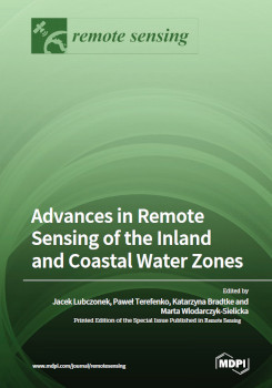
Advances In Remote Sensing Of The Inland And Coastal Water Zones Jacek Lubczonek

  • SKU: BELL-50656034
Advances In Remote Sensing Of The Inland And Coastal Water Zones Jacek Lubczonek
$ 31.00 $ 45.00 (-31%)

4.7

26 reviews

Advances In Remote Sensing Of The Inland And Coastal Water Zones Jacek Lubczonek instant download after payment.

Publisher: MDPI
File Extension: PDF
File size: 106.3 MB
Pages: 278
Author: Jacek Lubczonek
ISBN: 9783036566757, 3036566759
Language: English
Year: 2023

Product desciption

Advances In Remote Sensing Of The Inland And Coastal Water Zones Jacek Lubczonek by Jacek Lubczonek 9783036566757, 3036566759 instant download after payment.

This reprint covers works related to research on the environments of coastal zones and inland waters, solving complex and current scientific problems in these areas. Tasks undertaken by the authors address current research trends using contemporary remote sensing techniques and cover various thematic areas or scientific approaches. Some works propose new possibilities of using geospatial data or methods of remote sensing data processing. They include issues related to the use of augmented and virtual reality, object-oriented image analysis, UAV-based photogrammetry, fusion of hydroacoustic and photogrammetric data, spatial interpolation, and geodata reduction techniques. These methods are being developed to support safe navigation in inland waters; low-cost monitoring of underwater objects; creating bathymetric maps and topobathymetric digital models or mapping submerged aquatic vegetation. The papers also focus on improving existing solutions and demonstrate new research approaches, including atmospheric correction, adjacency effects for remotely sensed images, classification of wetland vegetation, as well as determining the speed of sound in shallow waters for hydrography applications. These papers demonstrate the potential of the information contained in the remote sensing data acquired by the various platforms, as well as techniques for image processing based on the Google Earth Engine (GEE).

Related Products