Most ebook files are in PDF format, so you can easily read them using various software such as Foxit Reader or directly on the Google Chrome browser.
Some ebook files are released by publishers in other formats such as .awz, .mobi, .epub, .fb2, etc. You may need to install specific software to read these formats on mobile/PC, such as Calibre.
Please read the tutorial at this link: https://ebookbell.com/faq
We offer FREE conversion to the popular formats you request; however, this may take some time. Therefore, right after payment, please email us, and we will try to provide the service as quickly as possible.
For some exceptional file formats or broken links (if any), please refrain from opening any disputes. Instead, email us first, and we will try to assist within a maximum of 6 hours.
EbookBell Team
4.7
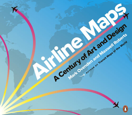
86 reviewsMajor airlines produced highly stylized illustrations of their global presence, establishing now-classic brands. With trendy & forward-looking designs, cartographers celebrated the coming together of different cultures & made the earth look ever smaller. Eventually, fleets got bigger & routes multiplied, & graphic designers have found creative new ways to display huge amounts of information. Airline hubs bring their own cultural mark & advertise their plentiful destination options. Innovative maps depict our busy world with webs of overlapping routes & networks of low-cost city-to-city hopping.
But though flying has become more commonplace, Ovenden & Roberts remind us that early air travel was a glamorous affair for good reason. Airline Maps is a celebration of graphic design, cartographic skills & clever marketing, & a visual feast that reminds us to enjoy the journey as much as the destination.
°°°
Mark Ovenden is a British writer & broadcaster. At the age of 7, he travelled alone 10 miles on the London Underground, armed only with a map. He later gained entry to a Graphic Design course by submitting a reworking of the London tube map. His previous books are Great Railway Maps of the World, Metro Maps of the World, Paris Metro Style & London Underground by Design.
Maxwell Roberts is a lecturer.