logo

EbookBell.com

Most ebook files are in PDF format, so you can easily read them using various software such as Foxit Reader or directly on the Google Chrome browser.
Some ebook files are released by publishers in other formats such as .awz, .mobi, .epub, .fb2, etc. You may need to install specific software to read these formats on mobile/PC, such as Calibre.

Please read the tutorial at this link:  https://ebookbell.com/faq 


We offer FREE conversion to the popular formats you request; however, this may take some time. Therefore, right after payment, please email us, and we will try to provide the service as quickly as possible.


For some exceptional file formats or broken links (if any), please refrain from opening any disputes. Instead, email us first, and we will try to assist within a maximum of 6 hours.

EbookBell Team
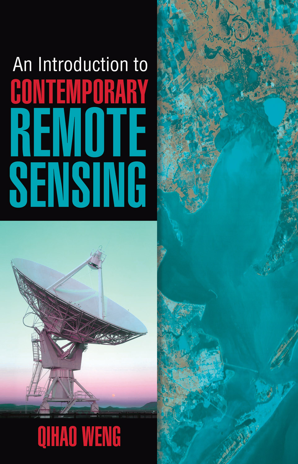
An Introduction To Contemporary Remote Sensing 1st Qihao Weng

  • SKU: BELL-10472432
An Introduction To Contemporary Remote Sensing 1st Qihao Weng
$ 31.00 $ 45.00 (-31%)

4.8

24 reviews

An Introduction To Contemporary Remote Sensing 1st Qihao Weng instant download after payment.

Publisher: McGraw-Hill
File Extension: PDF
File size: 9.86 MB
Pages: 265
Author: Qihao Weng
ISBN: 9780071740111, 0071740112
Language: English
Year: 2012
Edition: 1st

Product desciption

An Introduction To Contemporary Remote Sensing 1st Qihao Weng by Qihao Weng 9780071740111, 0071740112 instant download after payment.

Written by an internationally renowned expert in the field, An Introduction to Contemporary Remote Sensing introduces the latest developments in remote sensing and imaging science. This book covers basic principles and discusses essential technologies, such as aerial photography, radar, Lidar (light detection and ranging), photogrammetry, satellites, thermal radiation, and much more. Full-color images illustrate the concepts presented, and review questions at the end of each chapter help reinforce learning. This detailed resource provides the solid foundation in remote sensing required for developing diverse geospatial applications.
Coverage includes:
Geographic information system (GIS)
Global positioning system (GPS), mobile mapping, and Google Earth
Electromagnetic radiation principles
Characteristics of remotely sensed data
Spatial, spectral, radiometric, and temporal resolution
Aerial photo interpretation
Photogrammetry
Remote sensors
Earth observation satellites
Digital image analysis
Thermal remote sensing
Active remote sensing

Related Products