logo

EbookBell.com

Most ebook files are in PDF format, so you can easily read them using various software such as Foxit Reader or directly on the Google Chrome browser.
Some ebook files are released by publishers in other formats such as .awz, .mobi, .epub, .fb2, etc. You may need to install specific software to read these formats on mobile/PC, such as Calibre.

Please read the tutorial at this link:  https://ebookbell.com/faq 


We offer FREE conversion to the popular formats you request; however, this may take some time. Therefore, right after payment, please email us, and we will try to provide the service as quickly as possible.


For some exceptional file formats or broken links (if any), please refrain from opening any disputes. Instead, email us first, and we will try to assist within a maximum of 6 hours.

EbookBell Team
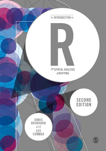
An Introduction To R For Spatial Analysis And Mapping Second Chris Brunsdon

  • SKU: BELL-23900330
An Introduction To R For Spatial Analysis And Mapping Second Chris Brunsdon
$ 31.00 $ 45.00 (-31%)

4.4

72 reviews

An Introduction To R For Spatial Analysis And Mapping Second Chris Brunsdon instant download after payment.

Publisher: SAGE Publications Limited
File Extension: PDF
File size: 18.64 MB
Author: Chris Brunsdon, Lex Comber
ISBN: 9781526428493, 9781526428509, 1526428490, 1526428504
Language: English
Year: 2019
Edition: Second

Product desciption

An Introduction To R For Spatial Analysis And Mapping Second Chris Brunsdon by Chris Brunsdon, Lex Comber 9781526428493, 9781526428509, 1526428490, 1526428504 instant download after payment.

This is a new edition of the accessible and student-friendly 'how to' for anyone using R for the first time, for use in spatial statistical analysis, geocomputation and digital mapping. The authors, once again, take readers from ‘zero to hero’, updating the now standard text to further enable practical R applications in GIS, spatial analyses, spatial statistics, web-scraping and more. Revised and updated, each chapter includes: example data and commands to explore hands-on; scripts and coding to exemplify specific functionality; self-contained exercises for students to work through; embedded code within the descriptive text. The new edition includes detailed discussion of new and emerging packages within R like sf, ggplot, tmap, making it the go to introduction for all researchers collecting and using data with location attached. This is the introduction to the use of R for spatial statistical analysis, geocomputation, and GIS for all researchers - regardless of discipline - collecting and using data with location attached.

Related Products