Most ebook files are in PDF format, so you can easily read them using various software such as Foxit Reader or directly on the Google Chrome browser.
Some ebook files are released by publishers in other formats such as .awz, .mobi, .epub, .fb2, etc. You may need to install specific software to read these formats on mobile/PC, such as Calibre.
Please read the tutorial at this link: https://ebookbell.com/faq
We offer FREE conversion to the popular formats you request; however, this may take some time. Therefore, right after payment, please email us, and we will try to provide the service as quickly as possible.
For some exceptional file formats or broken links (if any), please refrain from opening any disputes. Instead, email us first, and we will try to assist within a maximum of 6 hours.
EbookBell Team

5.0
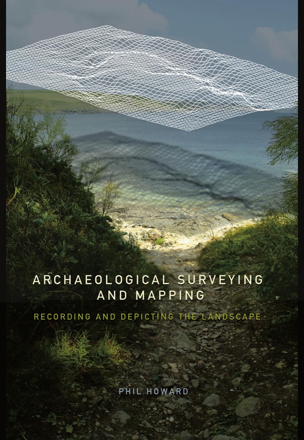
90 reviewsA comprehensive and practical guide to surveying for archaeologists, with clear instructions in archaeological mapping, recording field work and detailed case studies from the UK, Europe and the US. Philip Howard provides a user's guide to methods and instruments of surveying to enable archaeologists to represent their own fieldwork confidently and independently. Archaeological Surveying is an invaluable resource which: provides beginner's instructions to software used in computerised surveying, including IntelliCAD 2000, Terrain Tools, Christine GIS and Global Mapper introduces the archaeologist to a range of surveying instruments such as GPS, electronic distance measures, theodolites and magnetic compasses includes low-cost software. This textbook is an essential read for any field archaeologists who are in need of an introduction to surveying, or simply wish to update their techniques.
The definitive practical guide to surveying for archaeologists in the twenty-first century. The geometrical principles and techniques involved in surveying are often considered prohibitively complex by fieldworkers. In this book, Phil Howard unravels the basic principles involved in surveying and shows how they can be used by archaeologists to log the results of their fieldwork. User’s guides to methods and instruments of surveying provide clear and comprehensive instructions to enable archaeologists to represent their own fieldwork confidently and independently.
• Provides beginner’s instructions to software used in computerised surveying, including IntelliCAD 2000, Terrain Tools, Christine GIS and Global Mapper.
• Introduces the archaeologist to a range of surveying instruments such as GPS, electronic distance measures, theodolites and magnetic compasses.
• Uses low-cost software.
• Includes detailed case studies from the UK, Europe and the US.