logo

EbookBell.com

Most ebook files are in PDF format, so you can easily read them using various software such as Foxit Reader or directly on the Google Chrome browser.
Some ebook files are released by publishers in other formats such as .awz, .mobi, .epub, .fb2, etc. You may need to install specific software to read these formats on mobile/PC, such as Calibre.

Please read the tutorial at this link:  https://ebookbell.com/faq 


We offer FREE conversion to the popular formats you request; however, this may take some time. Therefore, right after payment, please email us, and we will try to provide the service as quickly as possible.


For some exceptional file formats or broken links (if any), please refrain from opening any disputes. Instead, email us first, and we will try to assist within a maximum of 6 hours.

EbookBell Team
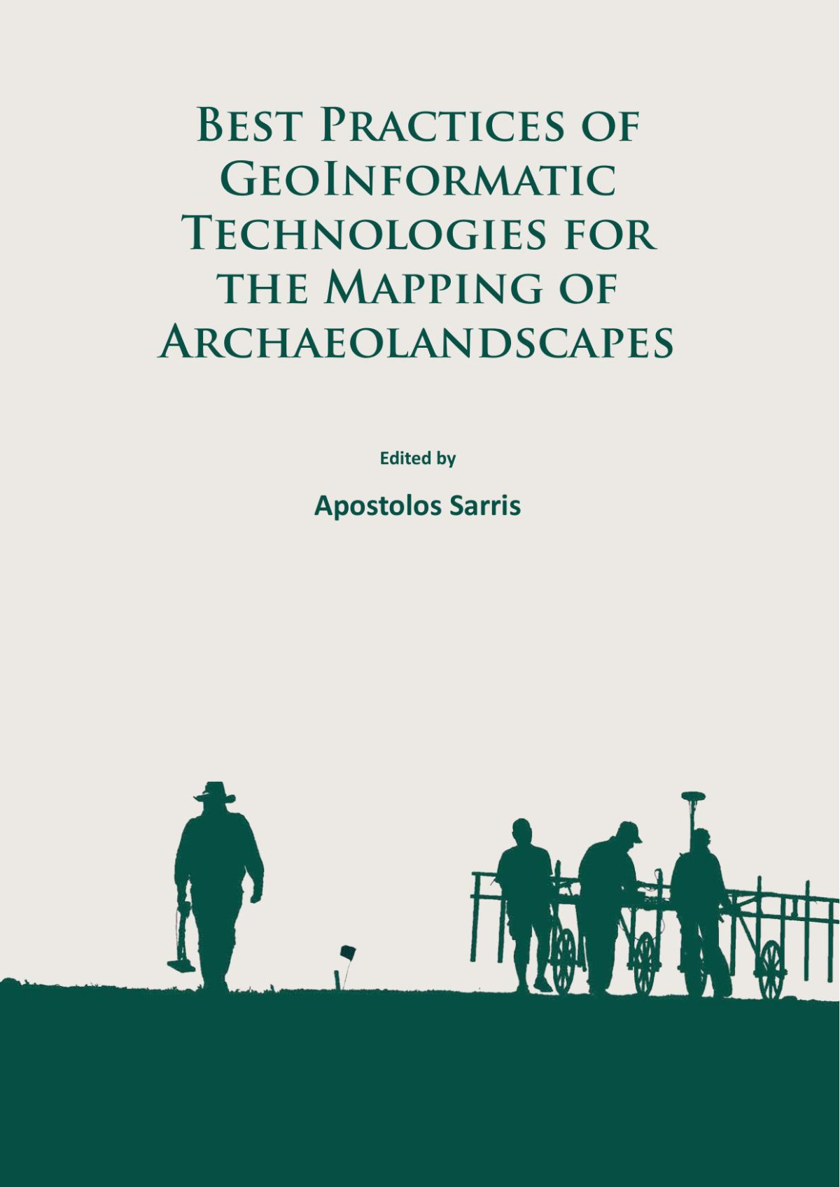
Best Practices Of Geoinformatic Technologies For The Mapping Of Archaeolandscapes Apostolos Sarris Editor

  • SKU: BELL-51476750
Best Practices Of Geoinformatic Technologies For The Mapping Of Archaeolandscapes Apostolos Sarris Editor
$ 31.00 $ 45.00 (-31%)

4.4

82 reviews

Best Practices Of Geoinformatic Technologies For The Mapping Of Archaeolandscapes Apostolos Sarris Editor instant download after payment.

Publisher: Archaeopress Publishing Limited
File Extension: PDF
File size: 13 MB
Pages: 279
Author: Apostolos Sarris (editor)
ISBN: 9781784911621, 1784911623
Language: English
Year: 2015

Product desciption

Best Practices Of Geoinformatic Technologies For The Mapping Of Archaeolandscapes Apostolos Sarris Editor by Apostolos Sarris (editor) 9781784911621, 1784911623 instant download after payment.

Landscape archaeology is being transformed by the recent development of novel geoinformatic techniques that facilitate entirely new ways to study the archaeological record. Despite this stimulating potential, these techniques are developing so quickly that many practitioners are not fully aware of their capabilities or the most suitable ways to apply them. This volume presents state of the art research in the fields of geophysics, geochemistry, aerial imaging, dating, digital archaeology, GIS and marine archaeology to provide a comprehensive overview of the specialised techniques which can contribute to landscape scale archaeological investigations. It is hoped that it will serve as a ‘best practice’ guide for their use and encourage their widespread adoption by the archaeological community.

Related Products