
Most ebook files are in PDF format, so you can easily read them using various software such as Foxit Reader or directly on the Google Chrome browser.
Some ebook files are released by publishers in other formats such as .awz, .mobi, .epub, .fb2, etc. You may need to install specific software to read these formats on mobile/PC, such as Calibre.
Please read the tutorial at this link: https://ebookbell.com/faq
We offer FREE conversion to the popular formats you request; however, this may take some time. Therefore, right after payment, please email us, and we will try to provide the service as quickly as possible.
For some exceptional file formats or broken links (if any), please refrain from opening any disputes. Instead, email us first, and we will try to assist within a maximum of 6 hours.
EbookBell Team

4.1
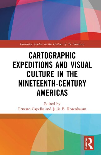
30 reviewsDuring the nineteenth century, gridding, graphing, and surveying proliferated as never before as nations and empires expanded into hitherto "unknown" territories. Though nominally geared toward justifying territorial claims and collecting scientific data, expeditions also produced vast troves of visual and artistic material. This bookconsiders the explosion of expeditionary mapping and its links to visual culture across the Americas, arguing that acts of measurement are also aesthetic acts. Such visual interventions intersect with new technologies, with sociopolitical power and conflict, and with shifting public tastes and consumption practices. Several key questions shape this examination: What kinds of nineteenth-century visual practices and technologies of seeing do these materials engage? How does scientific knowledge get translated into the visual and disseminated to the public? What are the commonalities and distinctions in mapping strategies between North and South America? How does the constitution of expeditionary lines reorder space and the natural landscape itself? The volume represents the first transnational and hemispheric analysis of nineteenth-century cartographic aesthetics, and features the multi-disciplinary perspective of historians, geographers, and art historians.