logo

EbookBell.com

Most ebook files are in PDF format, so you can easily read them using various software such as Foxit Reader or directly on the Google Chrome browser.
Some ebook files are released by publishers in other formats such as .awz, .mobi, .epub, .fb2, etc. You may need to install specific software to read these formats on mobile/PC, such as Calibre.

Please read the tutorial at this link:  https://ebookbell.com/faq 


We offer FREE conversion to the popular formats you request; however, this may take some time. Therefore, right after payment, please email us, and we will try to provide the service as quickly as possible.


For some exceptional file formats or broken links (if any), please refrain from opening any disputes. Instead, email us first, and we will try to assist within a maximum of 6 hours.

EbookBell Team
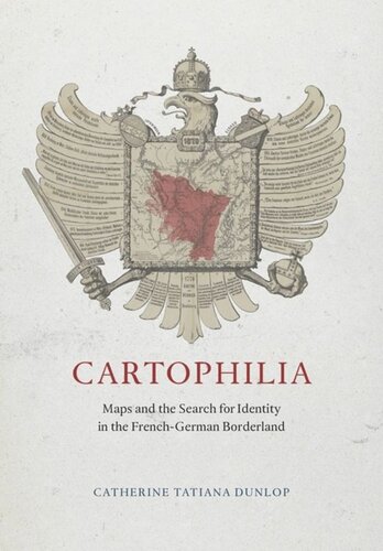
Cartophilia Maps And The Search For Identity In The Frenchgerman Borderland Catherine Tatiana Dunlop

  • SKU: BELL-51437706
Cartophilia Maps And The Search For Identity In The Frenchgerman Borderland Catherine Tatiana Dunlop
$ 31.00 $ 45.00 (-31%)

4.3

58 reviews

Cartophilia Maps And The Search For Identity In The Frenchgerman Borderland Catherine Tatiana Dunlop instant download after payment.

Publisher: University of Chicago Press
File Extension: PDF
File size: 6.66 MB
Pages: 280
Author: Catherine Tatiana Dunlop
ISBN: 9780226173160, 022617316X
Language: English
Year: 2015

Product desciption

Cartophilia Maps And The Search For Identity In The Frenchgerman Borderland Catherine Tatiana Dunlop by Catherine Tatiana Dunlop 9780226173160, 022617316X instant download after payment.

The period between the French Revolution and World War II was a time of tremendous growth in both mapmaking and map reading throughout Europe. There is no better place to witness this rise of popular cartography than in Alsace-Lorraine, a disputed borderland that the French and Germans both claimed as their national territory. Desired for its prime geographical position and abundant natural resources, Alsace-Lorraine endured devastating wars from 1870 to 1945 that altered its borders four times, transforming its physical landscape and the political allegiances of its citizens. For the border population whose lives were turned upside down by the French-German conflict, maps became essential tools for finding a new sense of place and a new sense of identity in their changing national and regional communities.
Turning to a previously undiscovered archive of popular maps, Cartophilia reveals Alsace-Lorraine’s lively world of citizen mapmakers that included linguists, ethnographers, schoolteachers, hikers, and priests. Together, this fresh group of mapmakers invented new genres of maps that framed French and German territory in original ways through experimental surveying techniques, orientations, scales, colors, and iconography. In focusing on the power of “bottom-up” maps to transform modern European identities, Cartophilia argues that the history of cartography must expand beyond the study of elite maps and shift its emphasis to the democratization of cartography in the modern world.

Related Products