logo

EbookBell.com

Most ebook files are in PDF format, so you can easily read them using various software such as Foxit Reader or directly on the Google Chrome browser.
Some ebook files are released by publishers in other formats such as .awz, .mobi, .epub, .fb2, etc. You may need to install specific software to read these formats on mobile/PC, such as Calibre.

Please read the tutorial at this link:  https://ebookbell.com/faq 


We offer FREE conversion to the popular formats you request; however, this may take some time. Therefore, right after payment, please email us, and we will try to provide the service as quickly as possible.


For some exceptional file formats or broken links (if any), please refrain from opening any disputes. Instead, email us first, and we will try to assist within a maximum of 6 hours.

EbookBell Team
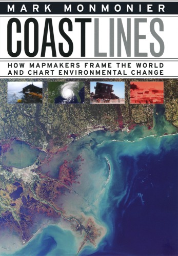
Coast Lines How Mapmakers Frame The World And Chart Environmental Change Monmonier

  • SKU: BELL-11898312
Coast Lines How Mapmakers Frame The World And Chart Environmental Change Monmonier
$ 31.00 $ 45.00 (-31%)

4.8

64 reviews

Coast Lines How Mapmakers Frame The World And Chart Environmental Change Monmonier instant download after payment.

Publisher: University of Chicago Press
File Extension: PDF
File size: 23.41 MB
Pages: 228
Author: Monmonier, Mark S
ISBN: 9780226534039, 0226534030
Language: English
Year: 2008

Product desciption

Coast Lines How Mapmakers Frame The World And Chart Environmental Change Monmonier by Monmonier, Mark S 9780226534039, 0226534030 instant download after payment.

In the next century, sea levels are predicted to rise at unprecedented rates, causing flooding around the world, from the islands of Malaysia and the canals of Venice to the coasts of Florida and California. These rising water levels pose serious challenges to all aspects of coastal existence—chiefly economic, residential, and environmental—as well as to the cartographic definition and mapping of coasts. It is this facet of coastal life that Mark Monmonier tackles in Coast Lines. Setting sail on a journey across shifting landscapes, cartographic technology, and climate change, Monmonier reveals that coastlines are as much a set of ideas, assumptions, and societal beliefs as they are solid black lines on maps.Whether for sailing charts or property maps, Monmonier shows, coastlines challenge mapmakers to capture on paper a highly irregular land-water boundary perturbed by tides and storms and complicated by rocks, wrecks, and shoals. Coast Lines is peppered with captivating anecdotes about the frustrating effort to expunge fictitious islands from nautical charts, the tricky measurement of a coastline’s length, and the contentious notions of beachfront property and public access.Combing maritime history and the history of technology, Coast Lines charts the historical progression from offshore sketches to satellite images and explores the societal impact of coastal cartography on everything from global warming to homeland security. Returning to the form of his celebrated Air Apparent, Monmonier ably renders the topic of coastal cartography accessible to both general readers and historians of science, technology, and maritime studies. In the post-Katrina era, when the map of entire regions can be redrawn by a single natural event, the issues he raises are more important than ever.

Related Products