logo

EbookBell.com

Most ebook files are in PDF format, so you can easily read them using various software such as Foxit Reader or directly on the Google Chrome browser.
Some ebook files are released by publishers in other formats such as .awz, .mobi, .epub, .fb2, etc. You may need to install specific software to read these formats on mobile/PC, such as Calibre.

Please read the tutorial at this link:  https://ebookbell.com/faq 


We offer FREE conversion to the popular formats you request; however, this may take some time. Therefore, right after payment, please email us, and we will try to provide the service as quickly as possible.


For some exceptional file formats or broken links (if any), please refrain from opening any disputes. Instead, email us first, and we will try to assist within a maximum of 6 hours.

EbookBell Team
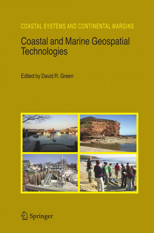
Coastal And Marine Geospatial Technologies 1st Edition Julien Barde

  • SKU: BELL-11854388
Coastal And Marine Geospatial Technologies 1st Edition Julien Barde
$ 31.00 $ 45.00 (-31%)

4.1

100 reviews

Coastal And Marine Geospatial Technologies 1st Edition Julien Barde instant download after payment.

Publisher: Springer Netherlands
File Extension: PDF
File size: 15.02 MB
Pages: 451
Author: Julien Barde, Therese Libourel, Pierre Maurel, Jean-Christophe Desconnets (auth.), D.R. Green (eds.)
ISBN: 9781402097195, 9781402097201, 1402097190, 1402097204
Language: English
Year: 2010
Edition: 1

Product desciption

Coastal And Marine Geospatial Technologies 1st Edition Julien Barde by Julien Barde, Therese Libourel, Pierre Maurel, Jean-christophe Desconnets (auth.), D.r. Green (eds.) 9781402097195, 9781402097201, 1402097190, 1402097204 instant download after payment.

In 2005 the CoastGIS symposium and exhibition was once again held in Aberdeen, Scotland, in the UK, the second time that we have had the privilege host this international event in the city of Aberdeen. This was the 6th International S- posium Computer Mapping and GIS for Coastal Zone Management, a collabo- tion between the International Cartographic Association’s (ICA) Commission on Marine Cartography, and the International Geographical Union’s (IGU) Comm- sion on Coastal Systems. The theme for 2005 was: De ning and Building a Marine and Coastal Spatial Data Infrastructure. As a major coastal event, the CoastGIS series of conferences always attracts an international audience of coastal researchers, managers, and pr- titioners who use one or more of the geospatial technologies (e. g. GIS, GPS, digital mapping, remote sensing, databases, and the Internet) in their work. The CoastGIS series is fundamentally an international event which over the years has gained a strong following attracting delegates from around the globe. Hosted by the University of Aberdeen – at the Aberdeen Exhibition and Conference Centre (AECC) – once again CoastGIS 2005 provided an opportunity to communicate the results of a wide range of innovative scienti c research into coastal and marine applications of the geospatial technologies, including remote sensing, Geograp- cal Information Systems (GIS), Global Positioning Systems (GPS), databases, data models, the Internet and online mapping systems.

Related Products