
Most ebook files are in PDF format, so you can easily read them using various software such as Foxit Reader or directly on the Google Chrome browser.
Some ebook files are released by publishers in other formats such as .awz, .mobi, .epub, .fb2, etc. You may need to install specific software to read these formats on mobile/PC, such as Calibre.
Please read the tutorial at this link: https://ebookbell.com/faq
We offer FREE conversion to the popular formats you request; however, this may take some time. Therefore, right after payment, please email us, and we will try to provide the service as quickly as possible.
For some exceptional file formats or broken links (if any), please refrain from opening any disputes. Instead, email us first, and we will try to assist within a maximum of 6 hours.
EbookBell Team

4.8
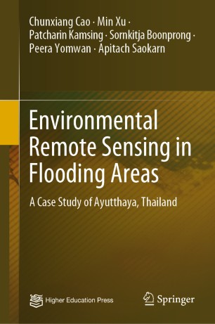
24 reviewsThis book introduces flood inundation area and flood risks assessment based on a comprehensive monitoring system using remote sensing and geographic information system technologies. Taking the 2011 flood disaster of Ayutthaya in Thailand as an example, it presents a flood intrusion zone identification method based on remote sensing technology, spatial information technology and geographic information system for flood disaster monitoring and early warning system. It introduces the study area and data, vegetation index, improved support vector machine and flood intrusion zone identification method. It also analyzes the flood remote sensing parameters and waterborne diseases, method of risk assessment of waterborne disease outbreak, waterborne disease outbreak risk monitoring based on backpropagation neural network and its expert system. It not only promotes a new interdisciplinary approach both in public health and space information technology, but also greatly supports decision makers in disaster reduction.