logo

EbookBell.com

Most ebook files are in PDF format, so you can easily read them using various software such as Foxit Reader or directly on the Google Chrome browser.
Some ebook files are released by publishers in other formats such as .awz, .mobi, .epub, .fb2, etc. You may need to install specific software to read these formats on mobile/PC, such as Calibre.

Please read the tutorial at this link:  https://ebookbell.com/faq 


We offer FREE conversion to the popular formats you request; however, this may take some time. Therefore, right after payment, please email us, and we will try to provide the service as quickly as possible.


For some exceptional file formats or broken links (if any), please refrain from opening any disputes. Instead, email us first, and we will try to assist within a maximum of 6 hours.

EbookBell Team
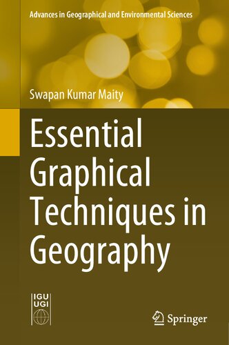
Essential Graphical Techniques In Geography 1st Ed 2021 Maity

  • SKU: BELL-36465284
Essential Graphical Techniques In Geography 1st Ed 2021 Maity
$ 31.00 $ 45.00 (-31%)

4.0

46 reviews

Essential Graphical Techniques In Geography 1st Ed 2021 Maity instant download after payment.

Publisher: Springer
File Extension: PDF
File size: 9.1 MB
Pages: 337
Author: Maity, Swapan Kumar
ISBN: 9789811665844, 9811665842
Language: English
Year: 2021
Edition: 1st ed. 2021

Product desciption

Essential Graphical Techniques In Geography 1st Ed 2021 Maity by Maity, Swapan Kumar 9789811665844, 9811665842 instant download after payment.

Representation of geographical data using graphs, diagrams and mapping techniques is a key for geographers and for researchers in other disciplines to explore the nature of data, the pattern of spatial and temporal variations and their relationships, and formulation of principles to accurately understand and analyze features on or near the earth’s surface. These modes of representation also enable the development of spatial understanding and the capacity for technical and logical decision making.  The book depicts all types of graphs, diagrams and maps, explained in detail with numerous examples. The emphasis is on their appropriate data structure, the relevance of selecting the correct technique, methods of their construction, advantages and disadvantages of their use, and applications of these techniques in analyzing and realizing the spatial pattern of various geographical features and phenomena. This book is unique in that it reflects a perfect correlation between theoretical knowledge of geographical events and phenomena and their realistic implications, with relevant examples using appropriate graphical methods. The book serves as a valuable resource for students, researchers, cartographers and decision makers to analyze and represent various geographical data for a better, systematic and scientific understanding of the real world.

Related Products