logo

EbookBell.com

Most ebook files are in PDF format, so you can easily read them using various software such as Foxit Reader or directly on the Google Chrome browser.
Some ebook files are released by publishers in other formats such as .awz, .mobi, .epub, .fb2, etc. You may need to install specific software to read these formats on mobile/PC, such as Calibre.

Please read the tutorial at this link:  https://ebookbell.com/faq 


We offer FREE conversion to the popular formats you request; however, this may take some time. Therefore, right after payment, please email us, and we will try to provide the service as quickly as possible.


For some exceptional file formats or broken links (if any), please refrain from opening any disputes. Instead, email us first, and we will try to assist within a maximum of 6 hours.

EbookBell Team
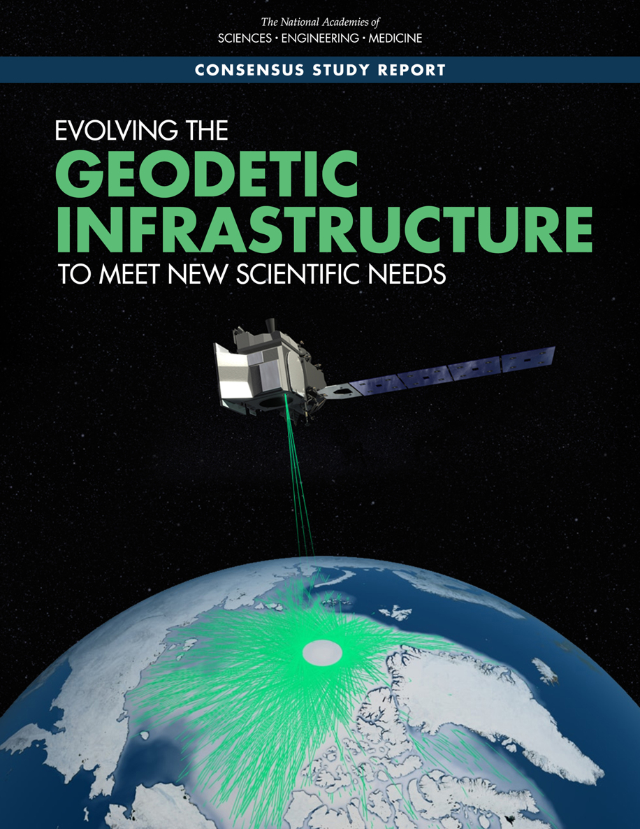
Evolving The Geodetic Infrastructure To Meet New Scientific Needs National Academies Of Sciences

  • SKU: BELL-232883372
Evolving The Geodetic Infrastructure To Meet New Scientific Needs National Academies Of Sciences
$ 31.00 $ 45.00 (-31%)

4.8

94 reviews

Evolving The Geodetic Infrastructure To Meet New Scientific Needs National Academies Of Sciences instant download after payment.

Publisher: National Academies Press
File Extension: EPUB
File size: 23.98 MB
Author: National Academies of Sciences, Engineering & Medicine;Division on Earth & Life Studies;Board on Earth Sciences & Resources;Committee on Seismology & Geodynamics;Committee on Evolving the Geodetic Infrastructure to Meet New Scientific Needs;
Language: English
Year: 2020

Product desciption

Evolving The Geodetic Infrastructure To Meet New Scientific Needs National Academies Of Sciences by National Academies Of Sciences, Engineering & Medicine;division On Earth & Life Studies;board On Earth Sciences & Resources;committee On Seismology & Geodynamics;committee On Evolving The Geodetic Infrastructure To Meet New Scientific Needs; instant download after payment.

Satellite remote sensing is the primary tool for measuring global changes in the land, ocean, biosphere, and atmosphere. Over the past three decades, active remote sensing technologies have enabled increasingly precise measurements of Earth processes, allowing new science questions to be asked and answered. As this measurement precision increases, so does the need for a precise geodetic infrastructure. Evolving the Geodetic Infrastructure to Meet New Scientific Needs summarizes progress in maintaining and improving the geodetic infrastructure and identifies improvements to meet new science needs that were laid out in the 2018 report Thriving on Our Changing Planet: A Decadal Strategy for Earth Observation from Space. Focusing on sea-level change, the terrestrial water cycle, geological hazards, weather and climate, and ecosystems, this study examines the specific aspects of the geodetic infrastructure that need to be maintained or improved to help answer the science questions being considered.

Related Products