
Most ebook files are in PDF format, so you can easily read them using various software such as Foxit Reader or directly on the Google Chrome browser.
Some ebook files are released by publishers in other formats such as .awz, .mobi, .epub, .fb2, etc. You may need to install specific software to read these formats on mobile/PC, such as Calibre.
Please read the tutorial at this link: https://ebookbell.com/faq
We offer FREE conversion to the popular formats you request; however, this may take some time. Therefore, right after payment, please email us, and we will try to provide the service as quickly as possible.
For some exceptional file formats or broken links (if any), please refrain from opening any disputes. Instead, email us first, and we will try to assist within a maximum of 6 hours.
EbookBell Team

4.0
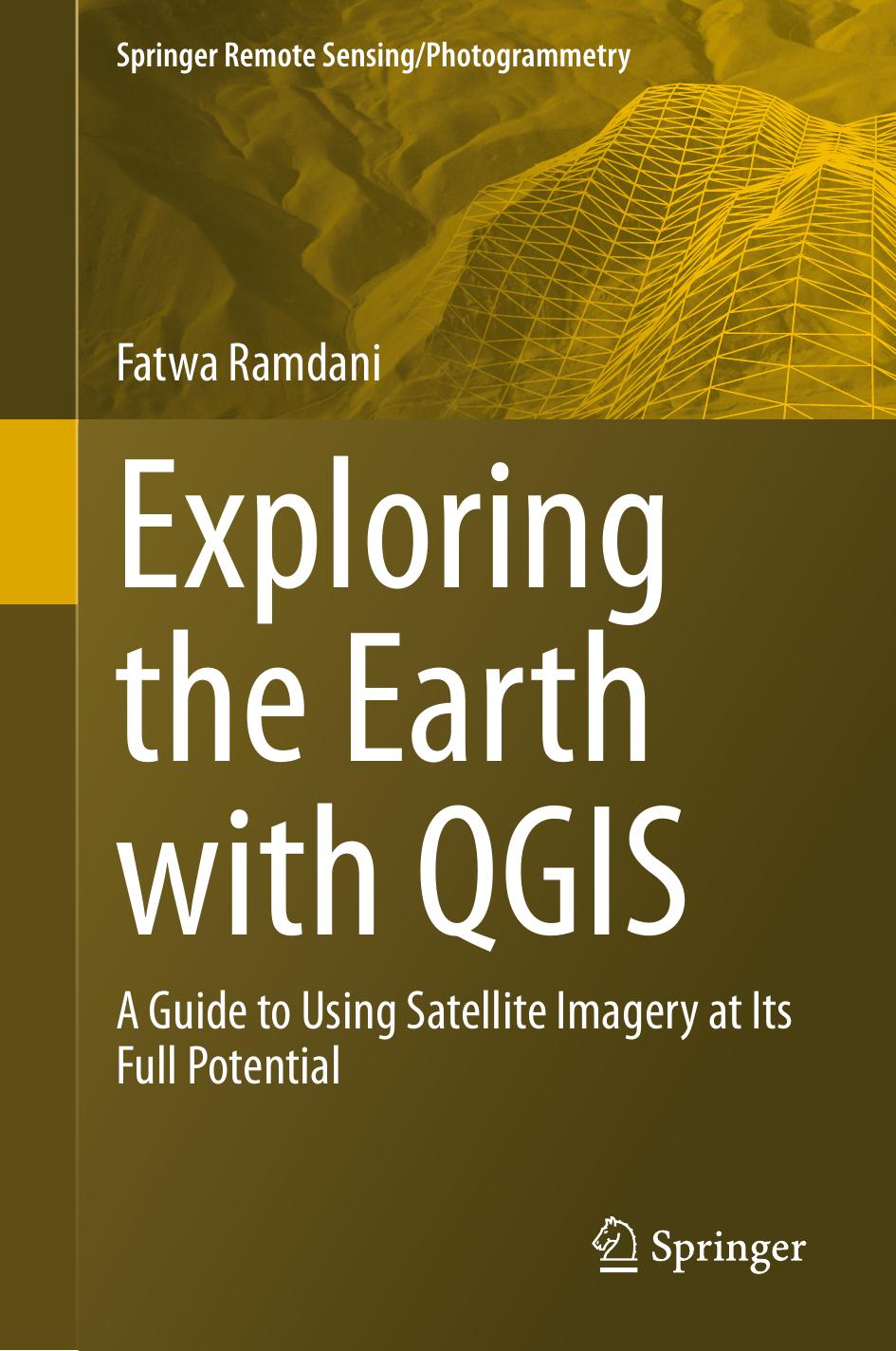
86 reviewsThere are several books that cover the use of QGIS for earth remote sensing, but most of them are either too technical or too general. This book fills this gap by providing a comprehensive and user-friendly guide to using QGIS for earth remote sensing applications. It includes a range of real-world case studies that demonstrate the power and versatility of QGIS for solving complex problems in earth remote sensing. This will provide readers with practical examples of how to use QGIS for earth remote sensing and inspire them to explore new applications and possibilities. The book is intended for GIS professionals, students (undergraduate and graduate), and researchers who are interested in using QGIS for earth remote sensing applications. It will be particularly useful for those who are new to QGIS or who want to expand their knowledge of the software for remote sensing purposes.