
Most ebook files are in PDF format, so you can easily read them using various software such as Foxit Reader or directly on the Google Chrome browser.
Some ebook files are released by publishers in other formats such as .awz, .mobi, .epub, .fb2, etc. You may need to install specific software to read these formats on mobile/PC, such as Calibre.
Please read the tutorial at this link: https://ebookbell.com/faq
We offer FREE conversion to the popular formats you request; however, this may take some time. Therefore, right after payment, please email us, and we will try to provide the service as quickly as possible.
For some exceptional file formats or broken links (if any), please refrain from opening any disputes. Instead, email us first, and we will try to assist within a maximum of 6 hours.
EbookBell Team

5.0
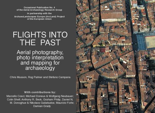
28 reviewsAerial archaeology is one of the major sources of information for landscapes archaeologists, seeking for new sites and for the understanding of past and present landscapes as a result of human-environment interaction. The volume gives a broad overview about the history, the basic concepts and techniques of aerial photography for archaeological purposes. It describes the way valuable information is derived from aerial images and how this is used for mapping and interpretation. Numerous examples from fieldwork richly illustrate these aspects. But many of the photos shown in this book do not simply illustrate the text, many of them also are eye-catching artworks which show fascinating landscapes in a way that only the view from above can provide!