
Most ebook files are in PDF format, so you can easily read them using various software such as Foxit Reader or directly on the Google Chrome browser.
Some ebook files are released by publishers in other formats such as .awz, .mobi, .epub, .fb2, etc. You may need to install specific software to read these formats on mobile/PC, such as Calibre.
Please read the tutorial at this link: https://ebookbell.com/faq
We offer FREE conversion to the popular formats you request; however, this may take some time. Therefore, right after payment, please email us, and we will try to provide the service as quickly as possible.
For some exceptional file formats or broken links (if any), please refrain from opening any disputes. Instead, email us first, and we will try to assist within a maximum of 6 hours.
EbookBell Team

4.8
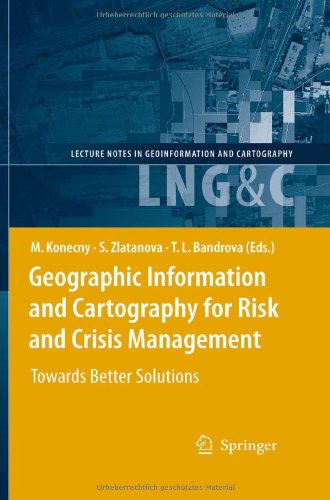
34 reviewsCartography and geographic information (GI) are remarkably appropriate for the requirements of early warning (EW) and crisis management (CM). The use of geospatial technology has increased tremendously in the last years. ICT has changed from just using maps created in advance, to new approaches, allowing individuals (decision-makers) to use cartography interactively, on the basis of individual user's requirements. The new generation of cartographic visualizations based on standardisation, formal modelling, use of sensors, semantics and ontology, allows for the better adaptation of information to the needs of the users. In order to design a new framework in pre-disaster and disaster management safety/security/privacy aspects of institutions and citizens need to be considered. All this can only be achieved by demonstrating new research achievements, sharing best practices (e.g. in the health area) and working towards the wider acceptance of geospatial technology in society, with the help of education and media.
This book will outline research frontiers and applications of cartography and GI in EW and CM and document their roles and potentials in wider processes going on in information/knowledge-based societies.