
Most ebook files are in PDF format, so you can easily read them using various software such as Foxit Reader or directly on the Google Chrome browser.
Some ebook files are released by publishers in other formats such as .awz, .mobi, .epub, .fb2, etc. You may need to install specific software to read these formats on mobile/PC, such as Calibre.
Please read the tutorial at this link: https://ebookbell.com/faq
We offer FREE conversion to the popular formats you request; however, this may take some time. Therefore, right after payment, please email us, and we will try to provide the service as quickly as possible.
For some exceptional file formats or broken links (if any), please refrain from opening any disputes. Instead, email us first, and we will try to assist within a maximum of 6 hours.
EbookBell Team

4.0
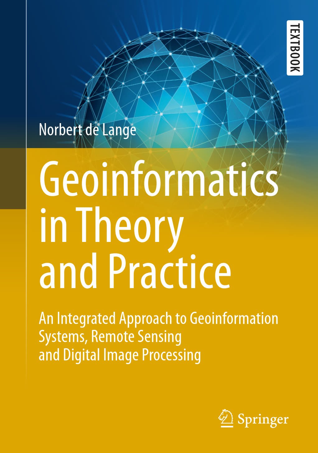
96 reviewsThis textbook is intended to display a broad, methodological introduction to geoinformatics and geoinformation science. It deals with the recording, modeling, processing and analysis as well as presenting and distributing of geodata. As an integrated approach it is dedicated to the multidisciplinary application of methods and concepts of computer science to solve spatial tasks. First the reader receives an introduction to the approach and tasks of geoinformatics, basic concepts and general principles of information processing as well as essentials of computer science. Then this textbook focuses on the following topics: spatial reference systems, digital spatial data, interoperability of spatial data, visualization of spatial information, data organization and database systems, geoinformation systems, remote sensing and digital image processing.
The result is a comprehensive manual for studies and practical applications in geoinformatics. It serves also as a basis to support and deepen methodological courses in geography, geology, geodesy and surveying as well as all environmental sciences. In this first English edition, the author has updated and significantly expanded the fourth German edition. New additions include the development of apps, graphical presentation on the web, geodata-bases and recent methods of classification.
This book is based on the original German 4th edition Geoinformatik in Theorie und Praxis by Norbert de Lange, published by Springer-Verlag GmbH Germany, part of Springer Nature in 2020 and still presents the only integrated perspective on geoinformatics and geoinformation science. This book was translated with the help of artificial intelligence (machine translation by the service DeepL.com) first and then significantly revised with regard to technical terms and special topics of geoinformatics.