logo

EbookBell.com

Most ebook files are in PDF format, so you can easily read them using various software such as Foxit Reader or directly on the Google Chrome browser.
Some ebook files are released by publishers in other formats such as .awz, .mobi, .epub, .fb2, etc. You may need to install specific software to read these formats on mobile/PC, such as Calibre.

Please read the tutorial at this link:  https://ebookbell.com/faq 


We offer FREE conversion to the popular formats you request; however, this may take some time. Therefore, right after payment, please email us, and we will try to provide the service as quickly as possible.


For some exceptional file formats or broken links (if any), please refrain from opening any disputes. Instead, email us first, and we will try to assist within a maximum of 6 hours.

EbookBell Team
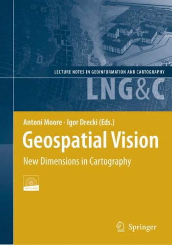
Geospatial Vision New Dimensions In Cartography Moore A Drecki I Eds

  • SKU: BELL-2046134
Geospatial Vision New Dimensions In Cartography Moore A Drecki I Eds
$ 31.00 $ 45.00 (-31%)

4.7

76 reviews

Geospatial Vision New Dimensions In Cartography Moore A Drecki I Eds instant download after payment.

Publisher: Springer
File Extension: PDF
File size: 15.15 MB
Pages: 253
Author: Moore A., Drecki I. (eds.)
ISBN: 9783540709671, 3540709673
Language: English
Year: 2008

Product desciption

Geospatial Vision New Dimensions In Cartography Moore A Drecki I Eds by Moore A., Drecki I. (eds.) 9783540709671, 3540709673 instant download after payment.

The book comprises a set of chapters relating to research presented at the 4th National Cartographic Conference GeoCart'2008, which was held in Auckland, New Zealand on September 1st to 3rd, 2008. The Conference is endorsed by the International Cartographic Association (ICA). The book delivers a representative, valuable and timely selection of cutting edge research in the fields of cartography and geovisualisation, with contributions from leading researchers worldwide. Each chapter has been reviewed by three international experts. The book incorporates sections on Representation, Egocentric Cartography, Geovisual Exploration of Uncertainty and Terrain, and Web Mapping. The accompanying CD includes colour maps, animation and interfaces.

Related Products