
Most ebook files are in PDF format, so you can easily read them using various software such as Foxit Reader or directly on the Google Chrome browser.
Some ebook files are released by publishers in other formats such as .awz, .mobi, .epub, .fb2, etc. You may need to install specific software to read these formats on mobile/PC, such as Calibre.
Please read the tutorial at this link: https://ebookbell.com/faq
We offer FREE conversion to the popular formats you request; however, this may take some time. Therefore, right after payment, please email us, and we will try to provide the service as quickly as possible.
For some exceptional file formats or broken links (if any), please refrain from opening any disputes. Instead, email us first, and we will try to assist within a maximum of 6 hours.
EbookBell Team

4.7
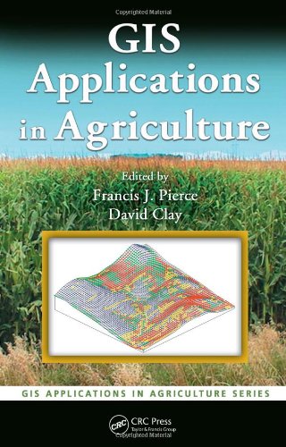
76 reviewsEach chapter describes the nature of a problem, examines the purpose and scope of a GIS application, presents the methods used to develop the application, and then goes on to provide results and offer a conclusion as well as supporting information. When appropriate, the chapters present the underlying statistical approach for the GIS software that is used. Applicable data sets and color maps produced by use of GIS are included for download at the CRC webiste.
Concentrating more on the approach and less on the specific software, the authors describe the methods used to develop an application and discuss limitations to the algorithms and the programming code used. They then summarize the application in terms of what it does, how it works, its limitations, and its potential uses. The book provides a toolkit for the acquisition, management, and analysis of spatial data throughout the agriculture value chain.