Most ebook files are in PDF format, so you can easily read them using various software such as Foxit Reader or directly on the Google Chrome browser.
Some ebook files are released by publishers in other formats such as .awz, .mobi, .epub, .fb2, etc. You may need to install specific software to read these formats on mobile/PC, such as Calibre.
Please read the tutorial at this link: https://ebookbell.com/faq
We offer FREE conversion to the popular formats you request; however, this may take some time. Therefore, right after payment, please email us, and we will try to provide the service as quickly as possible.
For some exceptional file formats or broken links (if any), please refrain from opening any disputes. Instead, email us first, and we will try to assist within a maximum of 6 hours.
EbookBell Team
4.0
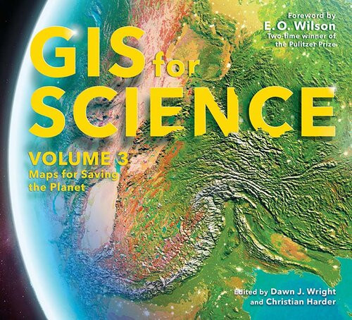
66 reviewsGIS for Science: Maps for Saving the Planet, Volume 3, highlights real-world examples of scientists creating maps about saving life on Earth and preserving biodiversity.
With Earth and the natural world at risk from various forces, geographic information system (GIS) mapping is essential for driving scientifically conscious decision-making about how to protect life on Earth. In volume 3 of GIS for Science, explore a collection of maps from scientists working to save the planet through documenting and protecting its biodiversity.
In this volume, learn how GIS and data mapping are used in tandem with
to help preserve and chronicle life on Earth. This volume also spotlights important global action initiatives incorporating conservation, including Half-Earth, 30 x 30, AI for Earth, the Blue Nature Alliance, and the Sustainable Development Solutions Network.
The stories presented in this third volume are ideal for the professional scientist and conservationist and anyone interested in the intersection of technology and the conservation of nature. The book’s contributors include scientists who are applying geographic data gathered from the full spectrum of remote sensing and on-site technologies. The maps and data are brought to life using ArcGIS® software and other spatial data science tools that support research, collaboration, spatial analysis, and science communication across many locations and within diverse communities. The stories shared in this book and its companion website present inspirational ideas so that GIS users and scientists can work toward preserving biodiversity and saving planet Earth before time runs out.