
Most ebook files are in PDF format, so you can easily read them using various software such as Foxit Reader or directly on the Google Chrome browser.
Some ebook files are released by publishers in other formats such as .awz, .mobi, .epub, .fb2, etc. You may need to install specific software to read these formats on mobile/PC, such as Calibre.
Please read the tutorial at this link: https://ebookbell.com/faq
We offer FREE conversion to the popular formats you request; however, this may take some time. Therefore, right after payment, please email us, and we will try to provide the service as quickly as possible.
For some exceptional file formats or broken links (if any), please refrain from opening any disputes. Instead, email us first, and we will try to assist within a maximum of 6 hours.
EbookBell Team

4.3
8 reviewsUpdated for ArcGIS Pro 2.4
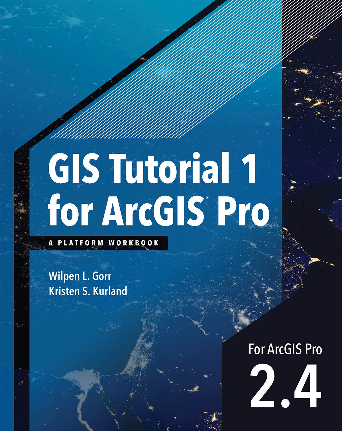
GIS Tutorial 1 for ArcGIS® Pro: A Platform Workbook is an introductory text for learning ArcGIS Pro, the premier professional desktop GIS application. In-depth exercises that use ArcGIS Pro, ArcGIS Online, and other ArcGIS apps show readers how to make maps, how to create and analyze spatial data, and how to manage systems with GIS.
GIS Tutorial 1 for ArcGIS Pro: A Platform Workbook engages readers in: