logo

EbookBell.com

Most ebook files are in PDF format, so you can easily read them using various software such as Foxit Reader or directly on the Google Chrome browser.
Some ebook files are released by publishers in other formats such as .awz, .mobi, .epub, .fb2, etc. You may need to install specific software to read these formats on mobile/PC, such as Calibre.

Please read the tutorial at this link:  https://ebookbell.com/faq 


We offer FREE conversion to the popular formats you request; however, this may take some time. Therefore, right after payment, please email us, and we will try to provide the service as quickly as possible.


For some exceptional file formats or broken links (if any), please refrain from opening any disputes. Instead, email us first, and we will try to assist within a maximum of 6 hours.

EbookBell Team
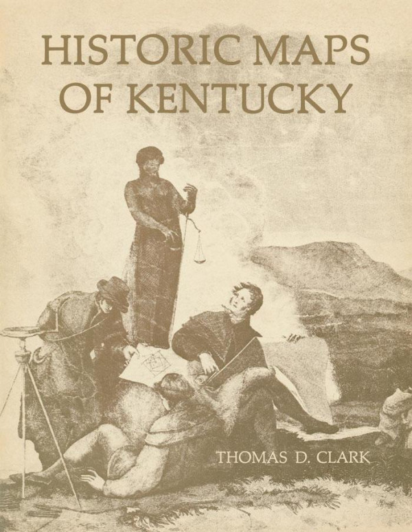
Historic Maps Of Kentucky 1st Edition Thomas D Clark

  • SKU: BELL-51742672
Historic Maps Of Kentucky 1st Edition Thomas D Clark
$ 31.00 $ 45.00 (-31%)

4.8

44 reviews

Historic Maps Of Kentucky 1st Edition Thomas D Clark instant download after payment.

Publisher: University Press of Kentucky
File Extension: PDF
File size: 28.01 MB
Pages: 97
Author: Thomas D. Clark
ISBN: 9780813165264, 0813165261
Language: English
Year: 2014
Edition: 1

Product desciption

Historic Maps Of Kentucky 1st Edition Thomas D Clark by Thomas D. Clark 9780813165264, 0813165261 instant download after payment.

Maps published frorn the third quarter of the eighteenth century through the Civil War reflect in colorful detail the emergence of the Commonwealth of Kentucky and the unfolding art of American cartography. Ten maps, selected and annotated by the most eminent historian of Kentucky, have been reproduced in authentic facsimiles. The accompanying booklet includes an illuminating historical essay, as well as notes on the individuaL facsimiles, and is illustrated with numerous details of other notable Kentucky maps. Among the rare maps reproduced are one of the battlefield of Perryville (1877), a colorful travelers' map (1839), and a map of the Falls of the Ohio (1806) believed to be the first map printed in Kentucky.

Related Products