logo

EbookBell.com

Most ebook files are in PDF format, so you can easily read them using various software such as Foxit Reader or directly on the Google Chrome browser.
Some ebook files are released by publishers in other formats such as .awz, .mobi, .epub, .fb2, etc. You may need to install specific software to read these formats on mobile/PC, such as Calibre.

Please read the tutorial at this link:  https://ebookbell.com/faq 


We offer FREE conversion to the popular formats you request; however, this may take some time. Therefore, right after payment, please email us, and we will try to provide the service as quickly as possible.


For some exceptional file formats or broken links (if any), please refrain from opening any disputes. Instead, email us first, and we will try to assist within a maximum of 6 hours.

EbookBell Team
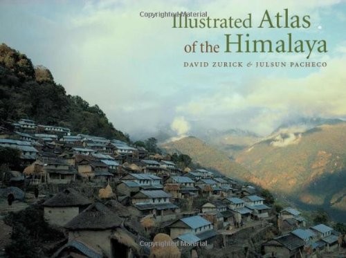
Illustrated Atlas Of The Himalaya Geography Photography David Zurick Julsun Pacheco

  • SKU: BELL-2499140
Illustrated Atlas Of The Himalaya Geography Photography David Zurick Julsun Pacheco
$ 31.00 $ 45.00 (-31%)

0.0

0 reviews

Illustrated Atlas Of The Himalaya Geography Photography David Zurick Julsun Pacheco instant download after payment.

Publisher: The University Press of Kentucky
File Extension: PDF
File size: 43.86 MB
Pages: 229
Author: David Zurick; Julsun Pacheco
ISBN: 9780813123882, 0813123887
Language: English
Year: 2006

Product desciption

Illustrated Atlas Of The Himalaya Geography Photography David Zurick Julsun Pacheco by David Zurick; Julsun Pacheco 9780813123882, 0813123887 instant download after payment.

The Himalaya are world-renowned for their exquisite mountain scenery, ancient traditions, and diverse ethnic groups that tenaciously inhabit this harsh yet sublime landscape. Home to the worlds highest peaks, including Mount Everest, and some of its deepest gorges, the region is a trove of biological and cultural diversity. Providing a panoramic overview of contemporary land and life in the Earths highest mountains, the Illustrated Atlas of the Himalaya is the first full-color, comprehensive atlas of the geography, economics, politics, and culture of this spectacular area. Drawing from the authors twenty-five years of scholarship and field experience in the region, the volume contains a stunning and unique collection of maps utilizing state-of-the-art cartography, exquisite photography, and engagingly-written text to give accurate coverage of the Himalaya. The volume covers the entire 2,700-kilometer length of the mountain range, from the Indus Valley in northern Pakistan and India, across Nepal and Bhutan, to the hidden realms of northeast India. The Illustrated Atlas of the Himalaya not only offers detailed explanations of geological formations, climate, vegetation, and natural resources but also explores the human dimension of the regions culture and economy. The authors devote special attention to discovery and travel, including exploration, mountaineering, and trekking. Packed with over 300 easy-to-read, custom designed full color maps and photographs and detailed text and map indexes, the Illustrated Atlas of the Himalaya is a superb collectors volume and an essential reference to this vast and complex mountain region.

Related Products