Most ebook files are in PDF format, so you can easily read them using various software such as Foxit Reader or directly on the Google Chrome browser.
Some ebook files are released by publishers in other formats such as .awz, .mobi, .epub, .fb2, etc. You may need to install specific software to read these formats on mobile/PC, such as Calibre.
Please read the tutorial at this link: https://ebookbell.com/faq
We offer FREE conversion to the popular formats you request; however, this may take some time. Therefore, right after payment, please email us, and we will try to provide the service as quickly as possible.
For some exceptional file formats or broken links (if any), please refrain from opening any disputes. Instead, email us first, and we will try to assist within a maximum of 6 hours.
EbookBell Team
5.0
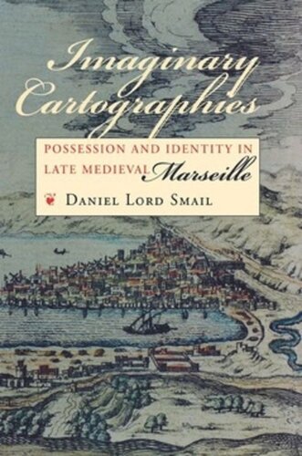
38 reviewsHow, in the years before the advent of urban maps, did city residents conceptualize and navigate their communities? In his strikingly original book, Daniel Lord Smail develops a new method and a new vocabulary for understanding how urban men and women thought about their personal geography. His thorough research of property records of late medieval Marseille leads him to conclude that its inhabitants charted their city, its social structure, and their own identities within that structure through a set of cartographic grammars which powerfully shaped their lives.Prior to the fourteenth century, different interest groups—notaries, royal officials, church officials, artisans—developed their own cartographies in accordance with their own social, political, or administrative agendas. These competing templates were created around units ranging from streets and islands to vicinities and landmarks. Smail shows how the notarial template, which privileged the street as the most basic marker of address, gradually emerged as the cartographic norm. This transformation, he argues, led to the rise of modern urban maps and helped to inaugurate the process whereby street addresses were attached to citizen identities, a crucial development in the larger enterprise of nation building.Imaginary Cartographies opens up powerful new means for exploring late medieval and Renaissance urban society while advancing understanding of the role of social perceptions in history.