
Most ebook files are in PDF format, so you can easily read them using various software such as Foxit Reader or directly on the Google Chrome browser.
Some ebook files are released by publishers in other formats such as .awz, .mobi, .epub, .fb2, etc. You may need to install specific software to read these formats on mobile/PC, such as Calibre.
Please read the tutorial at this link: https://ebookbell.com/faq
We offer FREE conversion to the popular formats you request; however, this may take some time. Therefore, right after payment, please email us, and we will try to provide the service as quickly as possible.
For some exceptional file formats or broken links (if any), please refrain from opening any disputes. Instead, email us first, and we will try to assist within a maximum of 6 hours.
EbookBell Team

4.4
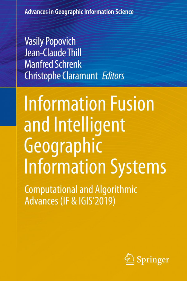
42 reviewsThis book gathers the proceedings of the 9th International Symposium “Information Fusion and Intelligent Geographic Information Systems 2019” (IF&IGIS'2019), which was held in St. Petersburg, Russia from May 22 to 24, 2019. The goal of the symposium was to provide a forum for exchange among leading international scholars in the fields of spatial data, information integration and Intelligent Geographic Information Systems (IGIS). The symposium was an opportunity to discuss sound and effective lines of modeling in the fusion of spatial data and information within the broader scope of intelligent GIS.
The topics of the 2019 Symposium essentially fall into three broad categories of developments aimed at leveraging the power of spatial information, namely: artificial intelligence; algorithmic and computations processes; and data-informed simulation models. All papers collected here present compelling, cutting-edge research on cloud computing, deep learning, visual analytics, and large-scale optimization. They discuss information fusion and intelligent GIS research in the context of surface and sub-surface maritime activities, port asset management, land-based trip and travel planning, smart city and e-government, emergency management, and environmental monitoring. Given its scope, the book will be of interest to students, researchers and professionals working in GIS, remote sensing, and cloud computing.