logo

EbookBell.com

Most ebook files are in PDF format, so you can easily read them using various software such as Foxit Reader or directly on the Google Chrome browser.
Some ebook files are released by publishers in other formats such as .awz, .mobi, .epub, .fb2, etc. You may need to install specific software to read these formats on mobile/PC, such as Calibre.

Please read the tutorial at this link:  https://ebookbell.com/faq 


We offer FREE conversion to the popular formats you request; however, this may take some time. Therefore, right after payment, please email us, and we will try to provide the service as quickly as possible.


For some exceptional file formats or broken links (if any), please refrain from opening any disputes. Instead, email us first, and we will try to assist within a maximum of 6 hours.

EbookBell Team
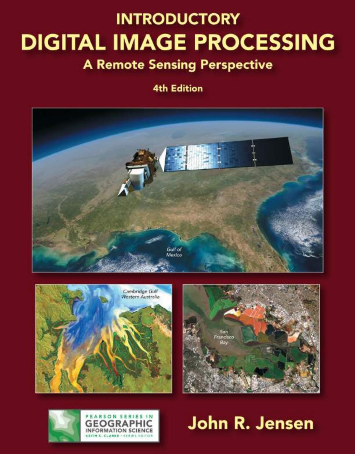
Introductory Digital Image Processing 4th Edition John R Jensen

  • SKU: BELL-47921590
Introductory Digital Image Processing 4th Edition John R Jensen
$ 31.00 $ 45.00 (-31%)

4.4

102 reviews

Introductory Digital Image Processing 4th Edition John R Jensen instant download after payment.

Publisher: Prentice Hall
File Extension: PDF
File size: 41.37 MB
Pages: 544
Author: John R. Jensen
ISBN: 9780134058160, 013405816X
Language: English
Year: 2015
Edition: 4th Edition

Product desciption

Introductory Digital Image Processing 4th Edition John R Jensen by John R. Jensen 9780134058160, 013405816X instant download after payment.

For junior/graduate-level courses in Remote Sensing in Geography, Geology, Forestry, and Biology. Introductory Digital Image Processing: A Remote Sensing Perspective focuses on digital image processing of aircraft- and satellite-derived, remotely sensed data for Earth resource management applications. Extensively illustrated, it explains how to extract biophysical information from remote sensor data for almost all multidisciplinary land-based environmental projects. Part of the Pearson Series Geographic Information Science. Now in full color, the Fourth Edition provides up-to-date information on analytical methods used to analyze digital remote sensing data. Each chapter contains a substantive reference list that can be used by students and scientists as a starting place for their digital image processing project or research. A new appendix provides sources of imagery and other geospatial information.

Related Products