logo

EbookBell.com

Most ebook files are in PDF format, so you can easily read them using various software such as Foxit Reader or directly on the Google Chrome browser.
Some ebook files are released by publishers in other formats such as .awz, .mobi, .epub, .fb2, etc. You may need to install specific software to read these formats on mobile/PC, such as Calibre.

Please read the tutorial at this link:  https://ebookbell.com/faq 


We offer FREE conversion to the popular formats you request; however, this may take some time. Therefore, right after payment, please email us, and we will try to provide the service as quickly as possible.


For some exceptional file formats or broken links (if any), please refrain from opening any disputes. Instead, email us first, and we will try to assist within a maximum of 6 hours.

EbookBell Team
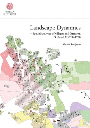
Landscape Dynamics Spatial Analyses Of Villages And Farms On Gotland Ad 2001700 Gustaf Svedjemo

  • SKU: BELL-24066812
Landscape Dynamics Spatial Analyses Of Villages And Farms On Gotland Ad 2001700 Gustaf Svedjemo
$ 31.00 $ 45.00 (-31%)

4.8

14 reviews

Landscape Dynamics Spatial Analyses Of Villages And Farms On Gotland Ad 2001700 Gustaf Svedjemo instant download after payment.

Publisher: Uppsala University
File Extension: PDF
File size: 15.49 MB
Pages: 256
Author: Gustaf Svedjemo
ISBN: 9789150623857, 9150623850
Language: English
Year: 2014

Product desciption

Landscape Dynamics Spatial Analyses Of Villages And Farms On Gotland Ad 2001700 Gustaf Svedjemo by Gustaf Svedjemo 9789150623857, 9150623850 instant download after payment.

This dissertation deals with the long-term dynamics and fluctuations of settlements on Gotland for the period from AD 200 up until early modern times. The settlement structure on Gotland is most often described as very stable and consisting of solitary farms, established in the Iron Age. A contrasting view is presented by analyses of a vast source material from different periods.
The source material consists of both physical remains, noted in the Swedish national Archaeological Sites Information System, FMIS and large scale historical maps, as well as other written sources. For the first studied period, the locations of some 2000 houses are known, since they were constructed with sturdy stone walls and are thus preserved. The source material for the following periods is scarcer, but some hundred Viking Age sites are identified, mainly by the find places of silver hoards. By retrogressive analyses of historical maps, from the decades around the year 1700, and other written sources, later periods are analysed. All available data are gathered in geodatabases, which enables both generalised and detailed spatial and statistical analyses.
The results of the analyses show a more varied picture, with great fluctuations in the number of farms; the existence of villages is also clearly indicated in a large part of the settlements. The villages are centred on kinship and the lack of strong royal power or landed gentry meant they were not fixed in cadastres, as fiscal units, as villages were on the Swedish mainland.
Two peaks, followed by major dips, were identified in the number of settlements and thus in the population. The first peak occurred during the late Roman Iron Age/Migration period, which was followed by a reduction in the Vendel period of possibly up to 30-50%. After this, a recovery started in the Viking Age, which culminated during the heydays of Gotland in the High Middle Ages, with population numbers most probably not surpassed until late in history. This upward trend was broken by the diminishing trade of Gotland, the Medieval agrarian crisis, The Danish invasion and later events. All this resulted in a decline, probably as great as after the Migration period.

Related Products