
Most ebook files are in PDF format, so you can easily read them using various software such as Foxit Reader or directly on the Google Chrome browser.
Some ebook files are released by publishers in other formats such as .awz, .mobi, .epub, .fb2, etc. You may need to install specific software to read these formats on mobile/PC, such as Calibre.
Please read the tutorial at this link: https://ebookbell.com/faq
We offer FREE conversion to the popular formats you request; however, this may take some time. Therefore, right after payment, please email us, and we will try to provide the service as quickly as possible.
For some exceptional file formats or broken links (if any), please refrain from opening any disputes. Instead, email us first, and we will try to assist within a maximum of 6 hours.
EbookBell Team

0.0
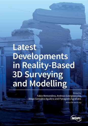
0 reviewsOriginates from the ISPRS/CIPA Workshop "3D-ARCH 2017 - 3D Virtual Reconstruction and Visualization of Complex Architectures", held in March 2017 in Nafplio, Greece. The main workshop's scope was to bring together scientists, developers and advanced users in 3D surveying and data processing and to encourage cooperation and practice sharing in the various fields where 3D technologies are nowadays used. The workshop focused primarily on multi-source and multi-sensors approaches, low-cost sensors and open-source algorithms for terrestrial 3D modelling, automation in data registration, image matching and 3D reconstruction, point cloud analysis, 4D modelling, BIM/HBIM and procedural modelling, accuracy requirement and assessment in 3D reconstructions, 3D applications in terrestrial and underwater environments, Virtual and Augmented Reality (VR/AR) applied to the visualization and conservation of complex architectures and heritage. Exciting and innovative papers presented at the workshop were selected to be extended and included in this collection.