logo

EbookBell.com

Most ebook files are in PDF format, so you can easily read them using various software such as Foxit Reader or directly on the Google Chrome browser.
Some ebook files are released by publishers in other formats such as .awz, .mobi, .epub, .fb2, etc. You may need to install specific software to read these formats on mobile/PC, such as Calibre.

Please read the tutorial at this link:  https://ebookbell.com/faq 


We offer FREE conversion to the popular formats you request; however, this may take some time. Therefore, right after payment, please email us, and we will try to provide the service as quickly as possible.


For some exceptional file formats or broken links (if any), please refrain from opening any disputes. Instead, email us first, and we will try to assist within a maximum of 6 hours.

EbookBell Team
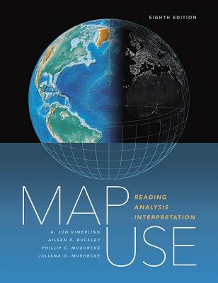
Map Use Reading Analysis Interpretation Paperback A Jon Kimerling Aileen R Buckley Phillip C Muehrcke Juliana O Muehrcke

  • SKU: BELL-10020076
Map Use Reading Analysis Interpretation Paperback A Jon Kimerling Aileen R Buckley Phillip C Muehrcke Juliana O Muehrcke
$ 31.00 $ 45.00 (-31%)

5.0

48 reviews

Map Use Reading Analysis Interpretation Paperback A Jon Kimerling Aileen R Buckley Phillip C Muehrcke Juliana O Muehrcke instant download after payment.

Publisher: Esri Press
File Extension: PDF
File size: 49.13 MB
Pages: 666
Author: A. Jon Kimerling; Aileen R Buckley; Phillip C Muehrcke; Juliana O Muehrcke
ISBN: 9781589484429, 1589484428
Language: English
Year: 2016
Edition: Paperback

Product desciption

Map Use Reading Analysis Interpretation Paperback A Jon Kimerling Aileen R Buckley Phillip C Muehrcke Juliana O Muehrcke by A. Jon Kimerling; Aileen R Buckley; Phillip C Muehrcke; Juliana O Muehrcke 9781589484429, 1589484428 instant download after payment.

Map Use: Reading, Analysis, Interpretation, seventh edition,is a comprehensive, foundational textbook designed for the college curriculum. Now updated with a new section on map interpretation, Map Use provides students with the knowledge and skills to read and understand maps, and offers professional cartographers a thorough reference resource. Nearly 600 full-color maps, photographs, and graphs illustrate the concepts behind communicating with maps, while an extensive glossary and resource DVD for instructors (lecture slides, lab exercises, and answer keys) further support use of the text in the classroom. The book renders basic cartographic principles accessible to all, from students of cartography and map design to those without a formal education in geography. Accommodating new developments in GPS and geographic information system technology, this newest edition could serve as an introductory GIS text as well.

Related Products