Most ebook files are in PDF format, so you can easily read them using various software such as Foxit Reader or directly on the Google Chrome browser.
Some ebook files are released by publishers in other formats such as .awz, .mobi, .epub, .fb2, etc. You may need to install specific software to read these formats on mobile/PC, such as Calibre.
Please read the tutorial at this link: https://ebookbell.com/faq
We offer FREE conversion to the popular formats you request; however, this may take some time. Therefore, right after payment, please email us, and we will try to provide the service as quickly as possible.
For some exceptional file formats or broken links (if any), please refrain from opening any disputes. Instead, email us first, and we will try to assist within a maximum of 6 hours.
EbookBell Team
5.0
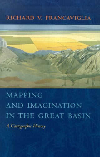
80 reviewsFrancaviglia’s compelling, wide-ranging discussion combines an explanation of the physical realities of the Great Basin with a cogent examination of the ways humans, from early Native Americans to nineteenth-century surveyors to twentieth-century highway and air travelers, have understood, defined, and organized this space, psychologically and through the medium of maps. This book explores the relationship between mapmakers from various cultures and nations—Spain, Mexico, France, England and the Americas—and shows how their maps of the Great Basin reflected attitudes and beliefs about what lay in the interior American West.
These maps run the gamut, from the manuscript maps of early explorers to printed maps used to promote rail and air travel across the Great Basin, as well as satellite and computer-derived maps of the very recent past. This rich interdisciplinary account of the mapping of the Great Basin combines a chronicle of the exploration of the region with a history of the art and science of cartography and of the political, economic, and social contexts in which maps are created.
The result is an impressive contribution to the canon of American Western history and of the evolution and multifarious functions of maps, ancient and modern. Mapping and Imaginatio