logo

EbookBell.com

Most ebook files are in PDF format, so you can easily read them using various software such as Foxit Reader or directly on the Google Chrome browser.
Some ebook files are released by publishers in other formats such as .awz, .mobi, .epub, .fb2, etc. You may need to install specific software to read these formats on mobile/PC, such as Calibre.

Please read the tutorial at this link:  https://ebookbell.com/faq 


We offer FREE conversion to the popular formats you request; however, this may take some time. Therefore, right after payment, please email us, and we will try to provide the service as quickly as possible.


For some exceptional file formats or broken links (if any), please refrain from opening any disputes. Instead, email us first, and we will try to assist within a maximum of 6 hours.

EbookBell Team
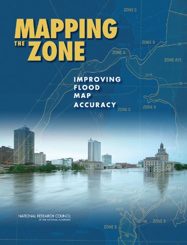
Mapping The Zone Improving Flood Map Accuracy Committee On Fema Flood Maps

  • SKU: BELL-4541256
Mapping The Zone Improving Flood Map Accuracy Committee On Fema Flood Maps
$ 31.00 $ 45.00 (-31%)

5.0

38 reviews

Mapping The Zone Improving Flood Map Accuracy Committee On Fema Flood Maps instant download after payment.

Publisher: National Academies Press
File Extension: PDF
File size: 17.11 MB
Pages: 136
Author: Committee on FEMA Flood Maps, Mapping Science Committee, Board on Earth Sciences and Resources, Water Science and Technology Board, Division on Earth and Life Studies, National Research Council
ISBN: 9780309130578, 0309130573
Language: English
Year: 2009

Product desciption

Mapping The Zone Improving Flood Map Accuracy Committee On Fema Flood Maps by Committee On Fema Flood Maps, Mapping Science Committee, Board On Earth Sciences And Resources, Water Science And Technology Board, Division On Earth And Life Studies, National Research Council 9780309130578, 0309130573 instant download after payment.

Federal Emergency Management Agency (FEMA) Flood Insurance Rate Maps portray the height and extent to which flooding is expected to occur, and they form the basis for setting flood insurance premiums and regulating development in the floodplain. As such, they are an important tool for individuals, businesses, communities, and government agencies to understand and deal with flood hazard and flood risk. Improving map accuracy is therefore not an academic question--better maps help everyone.
Making and maintaining an accurate flood map is neither simple nor inexpensive. Even after an investment of more than $1 billion to take flood maps into the digital world, only 21 percent of the population has maps that meet or exceed national flood hazard data quality thresholds. Even when floodplains are mapped with high accuracy, land development and natural changes to the landscape or hydrologic systems create the need for continuous map maintenance and updates.
Mapping the Zone examines the factors that affect flood map accuracy, assesses the benefits and costs of more accurate flood maps, and recommends ways to improve flood mapping, communication, and management of flood-related data.

Related Products