
Most ebook files are in PDF format, so you can easily read them using various software such as Foxit Reader or directly on the Google Chrome browser.
Some ebook files are released by publishers in other formats such as .awz, .mobi, .epub, .fb2, etc. You may need to install specific software to read these formats on mobile/PC, such as Calibre.
Please read the tutorial at this link: https://ebookbell.com/faq
We offer FREE conversion to the popular formats you request; however, this may take some time. Therefore, right after payment, please email us, and we will try to provide the service as quickly as possible.
For some exceptional file formats or broken links (if any), please refrain from opening any disputes. Instead, email us first, and we will try to assist within a maximum of 6 hours.
EbookBell Team

4.1
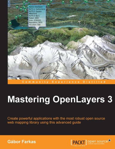
80 reviewsOpenLayers 3 allows you to create stunning web mapping and WebGIS applications. It uses modern, cutting edge browser technologies. It is written with Closure Library, enabling you to build browser-independent applications without painful debugging ceremonies, which even have some limited fallback options for older browsers.
With this guide, you will be introduced to the world of advanced web mapping and WebGIS.
First, you will be introduced to the advanced features and functionalities available in OpenLayers 3. Next, you will be taken through the key points of creating custom applications with OpenLayers 3. You will then learn how to create the web mapping application of yours (or your company's) dream with this open source, expense-free, yet very powerful library. We'll also show you how to make amazing looking thematic maps and create great effects with canvas manipulation.
By the end of this book, you will have a strong command of web mapping and will be well on your way to creating amazing applications using OpenLayers 3.
What you will learnGabor Farkas is a PhD student at University of Pecs's Institute of Geography. He holds a master's degree in geography, although he moved from traditional geography to pure Geoinformatics early in his academic journey. He often studies Geoinformatical solutions in his free time, keeps up with the latest trends, and is an open source enthusiast. He loves to work with GRASS GIS, PostGIS, and QGIS, but his all-time favorites are open source web mapping technologies, which mostly cover his main areas of research interest.
Table of Contents