Most ebook files are in PDF format, so you can easily read them using various software such as Foxit Reader or directly on the Google Chrome browser.
Some ebook files are released by publishers in other formats such as .awz, .mobi, .epub, .fb2, etc. You may need to install specific software to read these formats on mobile/PC, such as Calibre.
Please read the tutorial at this link: https://ebookbell.com/faq
We offer FREE conversion to the popular formats you request; however, this may take some time. Therefore, right after payment, please email us, and we will try to provide the service as quickly as possible.
For some exceptional file formats or broken links (if any), please refrain from opening any disputes. Instead, email us first, and we will try to assist within a maximum of 6 hours.
EbookBell Team
5.0
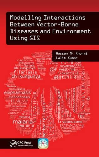
78 reviewsMaster GIS Applications on Modelling and Mapping the Risks of Diseases
Infections transmitted by mosquitoes, ticks, triatomine bugs, sandflies, and black flies cause significant rates of death and disease, especially in developing countries. Why are certain places more susceptible to vector-borne diseases? Modelling Interactions Between Vector-Borne Diseases and Environment Using GIS reveals how using geographic information systems (GISs) can provide a greater understanding of how vector-borne diseases are spread and explores the use of geographical techniques in vector-borne disease monitoring, management, and control. This text provides readers with a better understanding of the vector-borne disease problem and its impact on public health.
Introduces New Spatial Approaches Based on Location and Environment
The book exposes readers to information on how to identify vector hotspots, determine when and where they can occur, and eliminate vector breeding sites. Utilizing simple illustrations based on real data, as well as the authors’ more than 20 years of experience in the field, this text combines key spatial analysis techniques available in modern GIS with real-world applications. It offers step-by-step instruction on developing vector-borne disease risk models at different spatial and temporal scales and helps practitioners formulate disease causation hypotheses and identify areas at risk. In addition, it addresses medical geography, GIS, spatial analysis, and modelling, and covers other factors related to the spread of vector-borne diseases.
This book:
Modelling Interactions Between Vector-Borne Diseases and Environment Using GIS combines spatial analysis techniques available in modern GIS, together with real-world applications to provide you with a better understanding of ways to map, model, prevent, and control vector-borne diseases.