logo

EbookBell.com

Most ebook files are in PDF format, so you can easily read them using various software such as Foxit Reader or directly on the Google Chrome browser.
Some ebook files are released by publishers in other formats such as .awz, .mobi, .epub, .fb2, etc. You may need to install specific software to read these formats on mobile/PC, such as Calibre.

Please read the tutorial at this link:  https://ebookbell.com/faq 


We offer FREE conversion to the popular formats you request; however, this may take some time. Therefore, right after payment, please email us, and we will try to provide the service as quickly as possible.


For some exceptional file formats or broken links (if any), please refrain from opening any disputes. Instead, email us first, and we will try to assist within a maximum of 6 hours.

EbookBell Team
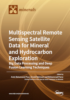
Multispectral Remote Sensing Satellite Data For Mineral And Hydrocarbon Exploration Big Data Processing And Deep Fusion Learning Techniques Amin Beiranvand Pour

  • SKU: BELL-50656118
Multispectral Remote Sensing Satellite Data For Mineral And Hydrocarbon Exploration Big Data Processing And Deep Fusion Learning Techniques Amin Beiranvand Pour
$ 31.00 $ 45.00 (-31%)

5.0

70 reviews

Multispectral Remote Sensing Satellite Data For Mineral And Hydrocarbon Exploration Big Data Processing And Deep Fusion Learning Techniques Amin Beiranvand Pour instant download after payment.

Publisher: MDPI
File Extension: PDF
File size: 149.37 MB
Pages: 282
Author: Amin Beiranvand Pour, Omeid Rahmani, Mohammad Parsa
ISBN: 9783036567945, 3036567941
Language: English
Year: 2023

Product desciption

Multispectral Remote Sensing Satellite Data For Mineral And Hydrocarbon Exploration Big Data Processing And Deep Fusion Learning Techniques Amin Beiranvand Pour by Amin Beiranvand Pour, Omeid Rahmani, Mohammad Parsa 9783036567945, 3036567941 instant download after payment.

This reprint exists to solve high complexity issues in remote sensing data processing, geochemical data analysis, geophysical data analysis and appropriate applications of GIS techniques for data fusion designed for mineral and hydrocarbon exploration. This reprint contains updated and informative knowledge of remote sensing imagery, geochemistry, geophysics and geospatial techniques that can assist in delineating the signatures and patterns linked to deep-seated, covered, blind, or buried mineral deposits and onshore oil slick detection, offshore oil spill monitoring and hydrocarbon exploration. It includes several color figures for remotely-sensed recognition of mineralization-related footprints. Additionally, this reprint comprehends several interactive flowcharts for describing the procedures explained therein.

Related Products