
Most ebook files are in PDF format, so you can easily read them using various software such as Foxit Reader or directly on the Google Chrome browser.
Some ebook files are released by publishers in other formats such as .awz, .mobi, .epub, .fb2, etc. You may need to install specific software to read these formats on mobile/PC, such as Calibre.
Please read the tutorial at this link: https://ebookbell.com/faq
We offer FREE conversion to the popular formats you request; however, this may take some time. Therefore, right after payment, please email us, and we will try to provide the service as quickly as possible.
For some exceptional file formats or broken links (if any), please refrain from opening any disputes. Instead, email us first, and we will try to assist within a maximum of 6 hours.
EbookBell Team

5.0
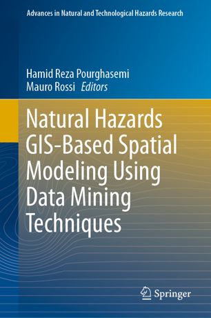
108 reviewsThis edited volume assesses capabilities of data mining algorithms for spatial modeling of natural hazards in different countries based on a collection of essays written by experts in the field. The book is organized on different hazards including landslides, flood, forest fire, land subsidence, earthquake, and gully erosion. Chapters were peer-reviewed by recognized scholars in the field of natural hazards research. Each chapter provides an overview on the topic, methods applied, and discusses examples used. The concepts and methods are explained at a level that allows undergraduates to understand and other readers learn through examples. This edited volume is shaped and structured to provide the reader with a comprehensive overview of all covered topics. It serves as a reference for researchers from different fields including land surveying, remote sensing, cartography, GIS, geophysics, geology, natural resources, and geography. It also serves as a guide for researchers, students, organizations, and decision makers active in land use planning and hazard management.