logo

EbookBell.com

Most ebook files are in PDF format, so you can easily read them using various software such as Foxit Reader or directly on the Google Chrome browser.
Some ebook files are released by publishers in other formats such as .awz, .mobi, .epub, .fb2, etc. You may need to install specific software to read these formats on mobile/PC, such as Calibre.

Please read the tutorial at this link:  https://ebookbell.com/faq 


We offer FREE conversion to the popular formats you request; however, this may take some time. Therefore, right after payment, please email us, and we will try to provide the service as quickly as possible.


For some exceptional file formats or broken links (if any), please refrain from opening any disputes. Instead, email us first, and we will try to assist within a maximum of 6 hours.

EbookBell Team
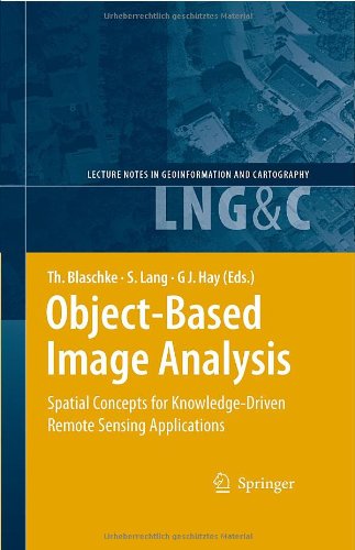
Objectbased Image Analysis Spatial Concepts For Knowledgedriven Remote Sensing Applications Lecture Notes In Geoinformation And Cartography 1st Edition Thomas Blaschke

  • SKU: BELL-2140452
Objectbased Image Analysis Spatial Concepts For Knowledgedriven Remote Sensing Applications Lecture Notes In Geoinformation And Cartography 1st Edition Thomas Blaschke
$ 31.00 $ 45.00 (-31%)

4.8

34 reviews

Objectbased Image Analysis Spatial Concepts For Knowledgedriven Remote Sensing Applications Lecture Notes In Geoinformation And Cartography 1st Edition Thomas Blaschke instant download after payment.

Publisher: Springer
File Extension: PDF
File size: 25.82 MB
Pages: 828
Author: Thomas Blaschke, Stefan Lang, Geoffrey J. Hay
ISBN: 3540770577
Language: English
Year: 2008
Edition: 1

Product desciption

Objectbased Image Analysis Spatial Concepts For Knowledgedriven Remote Sensing Applications Lecture Notes In Geoinformation And Cartography 1st Edition Thomas Blaschke by Thomas Blaschke, Stefan Lang, Geoffrey J. Hay 3540770577 instant download after payment.

This book addresses the Geographic Information Systems (GIS) and Remote Sensing communities worldwide by presenting a collection of 43 peer-reviewed interdisciplinary perspectives on Object-Based Image Analysis (OBIA). OBIA is a recent sub-discipline of Geographic Information Science devoted to developing automated methods to partition remote sensing imagery into meaningful image-objects, and assessing their characteristics through spatial, spectral and temporal scales. Its applications range from agriculture and natural resource management, to national defense and global climate change. Its economic impact spans from data collection, hardware and software vendors, developers and users, to recipients of sound sustainable environmental policy. Its effect is to synergistically bridge the raster world of remote sensing and the vector world of GIS by generating new semantically rich queryable geographic-information from multiscale earth observation data. We invite you to join us on this exciting state-of-the art journey into OBIA. The accompanying CD includes high resolution figures.

Related Products