logo

EbookBell.com

Most ebook files are in PDF format, so you can easily read them using various software such as Foxit Reader or directly on the Google Chrome browser.
Some ebook files are released by publishers in other formats such as .awz, .mobi, .epub, .fb2, etc. You may need to install specific software to read these formats on mobile/PC, such as Calibre.

Please read the tutorial at this link:  https://ebookbell.com/faq 


We offer FREE conversion to the popular formats you request; however, this may take some time. Therefore, right after payment, please email us, and we will try to provide the service as quickly as possible.


For some exceptional file formats or broken links (if any), please refrain from opening any disputes. Instead, email us first, and we will try to assist within a maximum of 6 hours.

EbookBell Team
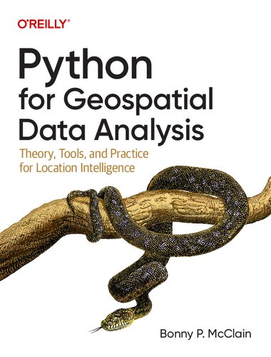
Python For Geospatial Data Analysis Theory Tools And Practice For Location Intelligence Bonny P Mcclain

  • SKU: BELL-52564954
Python For Geospatial Data Analysis Theory Tools And Practice For Location Intelligence Bonny P Mcclain
$ 31.00 $ 45.00 (-31%)

4.7

86 reviews

Python For Geospatial Data Analysis Theory Tools And Practice For Location Intelligence Bonny P Mcclain instant download after payment.

Publisher: O’Reilly Media, Inc.
File Extension: PDF
File size: 120.6 MB
Pages: 279
Author: Bonny P. McClain
ISBN: 9781098104795, 109810479X
Language: English
Year: 2022

Product desciption

Python For Geospatial Data Analysis Theory Tools And Practice For Location Intelligence Bonny P Mcclain by Bonny P. Mcclain 9781098104795, 109810479X instant download after payment.

In spatial data science, things in closer proximity to one another likely have more in common than things that are farther apart. With this practical book, geospatial professionals, data scientists, business analysts, geographers, geologists, and others familiar with data analysis and visualization will learn the fundamentals of spatial data analysis to gain a deeper understanding of their data questions.

Author Bonny P. McClain demonstrates why detecting and quantifying patterns in geospatial data is vital. Both proprietary and open source platforms allow you to process and visualize spatial information. This book is for people familiar with data analysis or visualization who are eager to explore geospatial integration with Python.

This book helps you

Understand the importance of applying spatial relationships in data science
Select and apply data layering of both raster and vector graphics
Apply location data to leverage spatial analytics
Design informative and accurate maps
Automate geographic data with Python scripts
Explore Python packages for additional functionality
Work with atypical data types such as polygons, shape files, and projections
Understand the graphical syntax of spatial data science to stimulate curiosity

Related Products