logo

EbookBell.com

Most ebook files are in PDF format, so you can easily read them using various software such as Foxit Reader or directly on the Google Chrome browser.
Some ebook files are released by publishers in other formats such as .awz, .mobi, .epub, .fb2, etc. You may need to install specific software to read these formats on mobile/PC, such as Calibre.

Please read the tutorial at this link:  https://ebookbell.com/faq 


We offer FREE conversion to the popular formats you request; however, this may take some time. Therefore, right after payment, please email us, and we will try to provide the service as quickly as possible.


For some exceptional file formats or broken links (if any), please refrain from opening any disputes. Instead, email us first, and we will try to assist within a maximum of 6 hours.

EbookBell Team
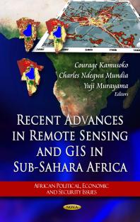
Recent Advances In Remote Sensing And Gis In Subsahara Africa 1st Edition Courage Kamusoko Charles Ndegwa Mundia Yuji Murayama

  • SKU: BELL-51360786
Recent Advances In Remote Sensing And Gis In Subsahara Africa 1st Edition Courage Kamusoko Charles Ndegwa Mundia Yuji Murayama
$ 31.00 $ 45.00 (-31%)

4.3

98 reviews

Recent Advances In Remote Sensing And Gis In Subsahara Africa 1st Edition Courage Kamusoko Charles Ndegwa Mundia Yuji Murayama instant download after payment.

Publisher: Nova Science Publishers, Incorporated
File Extension: PDF
File size: 10.87 MB
Pages: 225
Author: Courage Kamusoko; Charles Ndegwa Mundia; Yuji Murayama
ISBN: 9781617615122, 1617615129
Language: English
Year: 2011
Edition: 1

Product desciption

Recent Advances In Remote Sensing And Gis In Subsahara Africa 1st Edition Courage Kamusoko Charles Ndegwa Mundia Yuji Murayama by Courage Kamusoko; Charles Ndegwa Mundia; Yuji Murayama 9781617615122, 1617615129 instant download after payment.

This book focuses on impending serious problems of socio-economic conditions in the sub-Saharan countries utilizing remote sensing and GIS techniques. In Africa, the use of remote sensing data and analyzing techniques such as GIS is essential for any studies that involve an extensive area because more often than not, topographic maps at a scale of 1:50,000 or larger are not available for detailed mapping on the ground. In addition, basic socio-economic and physical data, such as census data, environmental data, and infrastructure data, are lacking or not kept updated for modeling analyses.

Related Products