
Most ebook files are in PDF format, so you can easily read them using various software such as Foxit Reader or directly on the Google Chrome browser.
Some ebook files are released by publishers in other formats such as .awz, .mobi, .epub, .fb2, etc. You may need to install specific software to read these formats on mobile/PC, such as Calibre.
Please read the tutorial at this link: https://ebookbell.com/faq
We offer FREE conversion to the popular formats you request; however, this may take some time. Therefore, right after payment, please email us, and we will try to provide the service as quickly as possible.
For some exceptional file formats or broken links (if any), please refrain from opening any disputes. Instead, email us first, and we will try to assist within a maximum of 6 hours.
EbookBell Team

0.0
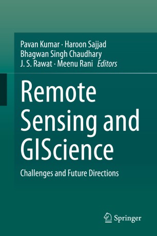
0 reviewsThis book covers several themes related to forestry, agriculture, water, soil, urban, and atmospheric research. GIScience technology systems have increased in significance in recent decades and have the ability to acquire information at ground level with a higher spectral resolution using a field radio-spectrometer, which is a great improvement compared to other remote sensing systems. GIScience technology systems are widely used for solving and understanding the concept of forestry, crop, water resources, and related research themes. This book aims to advance the scientific understanding of GIScience technology and applications. The chapters present GIScience data integration with other sources such as LiDAR, Multi-spectral data and their applications in forestry, crop assessment, soil assessment, mineral mapping and related themes. The book will be of interest to geospatial experts, modellers, foresters, agricultural scientists, hyperspectral remote sensing and space community, ecologists and conservation communities, environmental consultants, big data compilers, and computing experts.