logo

EbookBell.com

Most ebook files are in PDF format, so you can easily read them using various software such as Foxit Reader or directly on the Google Chrome browser.
Some ebook files are released by publishers in other formats such as .awz, .mobi, .epub, .fb2, etc. You may need to install specific software to read these formats on mobile/PC, such as Calibre.

Please read the tutorial at this link:  https://ebookbell.com/faq 


We offer FREE conversion to the popular formats you request; however, this may take some time. Therefore, right after payment, please email us, and we will try to provide the service as quickly as possible.


For some exceptional file formats or broken links (if any), please refrain from opening any disputes. Instead, email us first, and we will try to assist within a maximum of 6 hours.

EbookBell Team
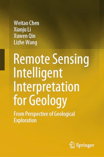
Remote Sensing Intelligent Interpretation For Geology From Perspective Of Geological Exploration 1st Edition Weitao Chen

  • SKU: BELL-54809340
Remote Sensing Intelligent Interpretation For Geology From Perspective Of Geological Exploration 1st Edition Weitao Chen
$ 31.00 $ 45.00 (-31%)

0.0

0 reviews

Remote Sensing Intelligent Interpretation For Geology From Perspective Of Geological Exploration 1st Edition Weitao Chen instant download after payment.

Publisher: Springer
File Extension: PDF
File size: 4.29 MB
Pages: 240
Author: Weitao Chen, Xianju Li, Xuwen Qin, Lizhe Wang
ISBN: 9789819989966, 9819989965
Language: English
Year: 2024
Edition: 1

Product desciption

Remote Sensing Intelligent Interpretation For Geology From Perspective Of Geological Exploration 1st Edition Weitao Chen by Weitao Chen, Xianju Li, Xuwen Qin, Lizhe Wang 9789819989966, 9819989965 instant download after payment.

This book presents the theories and methods for geology intelligent interpretation based on deep learning and remote sensing technologies. The main research subjects of this book include lithology and mineral abundance. This book focuses on the following five aspects: 1. Construction of geology remote sensing datasets from multi-level (pixel-level, scene-level, semantic segmentation-level, prior knowledge-assisted, transfer learning dataset), which are the basis of geology interpretation based on deep learning. 2. Research on lithology scene classification based on deep learning, prior knowledge, and remote sensing. 3. Research on lithology semantic segmentation based on deep learning and remote sensing. 4. Research on lithology classification based on transfer learning and remote sensing. 5. Research on inversion of mineral abundance based on the sparse unmixing theory and hyperspectral remote sensing. The book is intended for undergraduate and graduate students who are interested in geology, remote sensing, and artificial intelligence. It is also used as a reference book for scientific and technological personnel of geological exploration.

Related Products