
Most ebook files are in PDF format, so you can easily read them using various software such as Foxit Reader or directly on the Google Chrome browser.
Some ebook files are released by publishers in other formats such as .awz, .mobi, .epub, .fb2, etc. You may need to install specific software to read these formats on mobile/PC, such as Calibre.
Please read the tutorial at this link: https://ebookbell.com/faq
We offer FREE conversion to the popular formats you request; however, this may take some time. Therefore, right after payment, please email us, and we will try to provide the service as quickly as possible.
For some exceptional file formats or broken links (if any), please refrain from opening any disputes. Instead, email us first, and we will try to assist within a maximum of 6 hours.
EbookBell Team

4.1
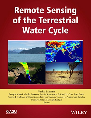
40 reviewsRemote Sensing of the Terrestrial Water Cycle is an outcome of the AGU Chapman Conference held in February 2012. This is a comprehensive volume that examines the use of available remote sensing satellite data as well as data from future missions that can be used to expand our knowledge in quantifying the spatial and temporal variations in the terrestrial water cycle.
Volume highlights include:
- An in-depth discussion of the global water cycle
- Approaches to various problems in climate, weather, hydrology, and agriculture
- Applications of satellite remote sensing in measuring precipitation, surface water, snow, soil moisture, groundwater, modeling, and data assimilation
- A description of the use of satellite data for accurately estimating and monitoring the components of the hydrological cycle
- Discussion of the measurement of multiple geophysical variables and properties over different landscapes on a temporal and a regional scale
Remote Sensing of the Terrestrial Water Cycle is a valuable resource for students and research professionals in the hydrology, ecology, atmospheric sciences, geography, and geological sciences communities.