
Most ebook files are in PDF format, so you can easily read them using various software such as Foxit Reader or directly on the Google Chrome browser.
Some ebook files are released by publishers in other formats such as .awz, .mobi, .epub, .fb2, etc. You may need to install specific software to read these formats on mobile/PC, such as Calibre.
Please read the tutorial at this link: https://ebookbell.com/faq
We offer FREE conversion to the popular formats you request; however, this may take some time. Therefore, right after payment, please email us, and we will try to provide the service as quickly as possible.
For some exceptional file formats or broken links (if any), please refrain from opening any disputes. Instead, email us first, and we will try to assist within a maximum of 6 hours.
EbookBell Team

5.0
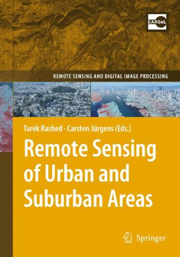
108 reviews"Remote Sensing of Urban and Suburban Areas" provides instructors with a text reference that has a logical and easy-to-follow flow of topics around which they can structure the syllabi of their urban remote sensing courses. Topics have been chosen to bridge the gap between remote sensing and urban studies through a better understanding of the science that underlies both fields. In so doing, the book includes 17 chapters written by leading international experts in respected fields to provide a balanced coverage of fundamental issues in both remote sensing and urban studies. Emphasis is placed on: theoretical and practical issues in contemporary urban studies and remote sensing; the spectral, spatial and temporal requirements of remotely sensed data in relation to various urban phenomena; methods and techniques for analyzing and integrating remotely sensed data and image processing with geographic information systems to address urban problems; and examples of applications in which applying remote sensing to tackle urban problems is deemed useful and important. This book will be of interest to university instructors, advanced undergraduate students, graduate students, and researchers in the fields of geography, architecture, engineering and urban planning. - Logical and easy-to-follow flow of topics around which university instructors can structure the syllabuses of their urban remote sensing courses - Set-up of chapters contains educational aids such as learning objectives, summarizing text boxes, exercises and learning activities at the end of each chapter.