Most ebook files are in PDF format, so you can easily read them using various software such as Foxit Reader or directly on the Google Chrome browser.
Some ebook files are released by publishers in other formats such as .awz, .mobi, .epub, .fb2, etc. You may need to install specific software to read these formats on mobile/PC, such as Calibre.
Please read the tutorial at this link: https://ebookbell.com/faq
We offer FREE conversion to the popular formats you request; however, this may take some time. Therefore, right after payment, please email us, and we will try to provide the service as quickly as possible.
For some exceptional file formats or broken links (if any), please refrain from opening any disputes. Instead, email us first, and we will try to assist within a maximum of 6 hours.
EbookBell Team
0.0
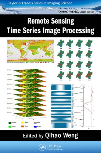
0 reviewsToday, remote sensing technology is an essential tool for understanding the Earth and managing human-Earth interactions. There is a rapidly growing need for remote sensing and Earth observation technology that enables monitoring of world’s natural resources and environments, managing exposure to natural and man-made risks and more frequently occurring disasters, and helping the sustainability and productivity of natural and human ecosystems. The improvement in temporal resolution/revisit allows for the large accumulation of images for a specific location, creating a possibility for time series image analysis and eventual real-time assessments of scene dynamics. As an authoritative text, Remote Sensing Time Series Image Processing brings together active and recognized authors in the field of time series image analysis and presents to the readers the current state of knowledge and its future directions.
Divided into three parts, the first addresses methods and techniques for generating time series image datasets. In particular, it provides guidance on the selection of cloud and cloud shadow detection algorithms for various applications. Part II examines feature development and information extraction methods for time series imagery. It presents some key remote sensing-based metrics, and their major applications in ecosystems and climate change studies. Part III illustrates various applications of time series image processing in land cover change, disturbance attribution, vegetation dynamics, and urbanization.
This book is intended for researchers, practitioners, and students in both remote sensing and imaging science. It can be used as a textbook by undergraduate and graduate students majoring in remote sensing, imaging science, civil and electrical engineering, geography, geosciences, planning, environmental science, land use, energy, and GIS, and as a reference book by practitioners and professionals in the government, commercial, and industrial sectors.